购物车里没有产品
返回商店
地图 地图集 珍本 版画 天文仪器
带您探索我们精选的稀有地图、地图集、初版航行记录,以及古董地球仪和科学仪器。
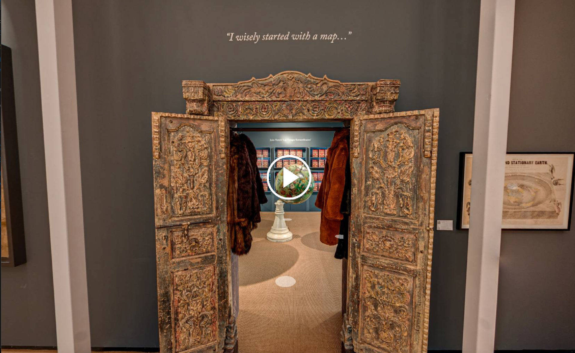
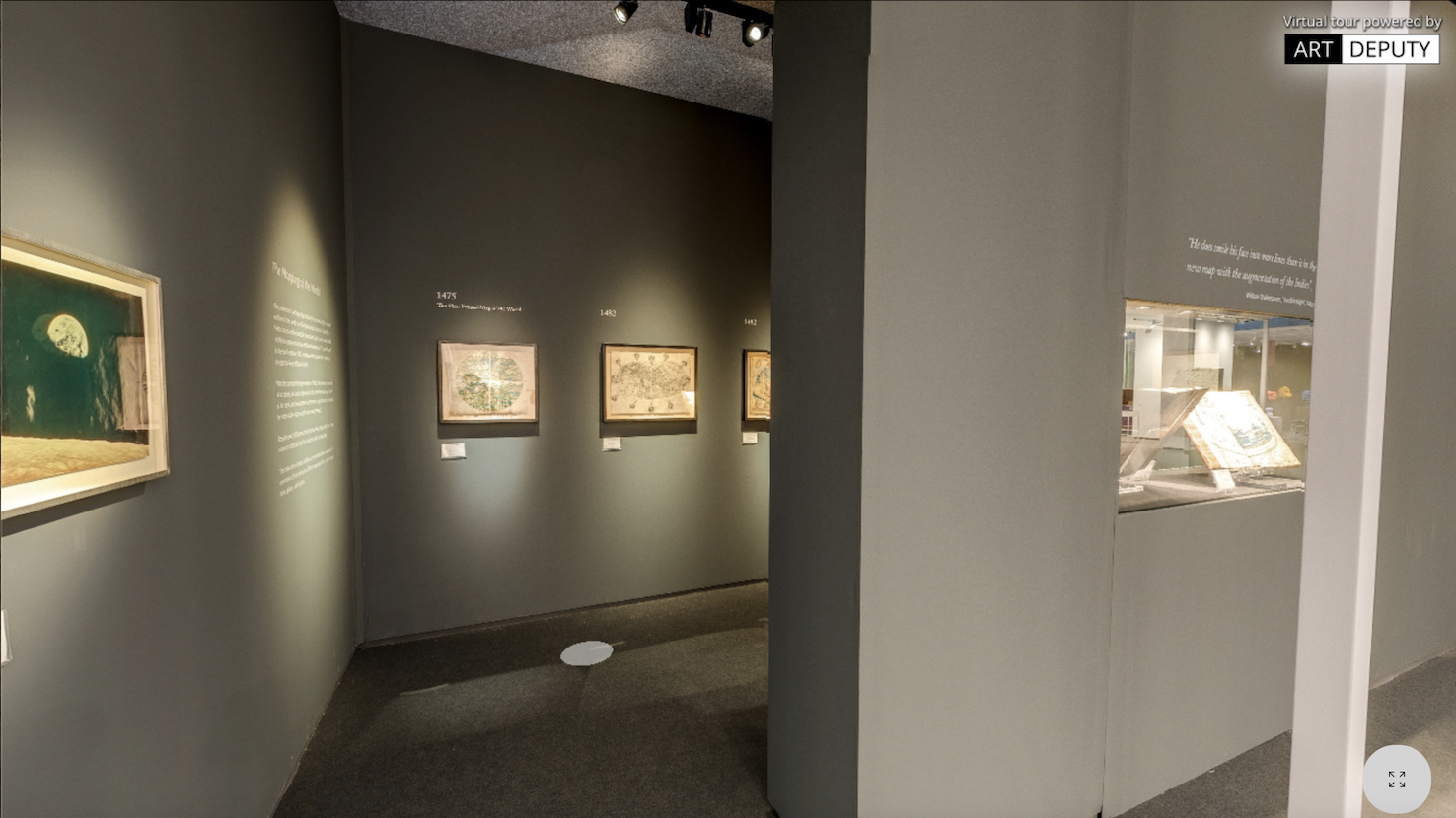
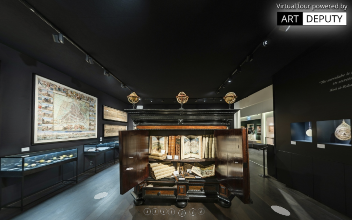
Be transported back to the birthplace of Free Trade: The Dutch Golden Age. From astrolabe to atlas, backstaff to Blaeu, coverlet to cabinet, we invite you to explore a VR tour of our TEFAF stand.
By nature, bodies of water are shared spaces. In the Mediterranean, the same waters that wash the shores of Spain cool the beaches of Beirut; on the savannah, the watering hole quenches the thirst of zebras and lions alike; the Amazon indiscriminately irrigates the soil of Brazil, Peru, Colombia, Ecuador, Bolivia, Venezuela, Guyana and Suriname. Throughout history, however, various groups have tried to lay claim to waters...
In the fifth century BC, portraits of rulers started to appear on coinage, as the utility of these widely-disseminated pieces of metal began to be realised for political ends. A golden aureus minted in Rome could travel as far as India, propagating an image of power across the known world. Much later, in the sixteenth century, it was found that playing cards could be used to much the same effect.
Grab your invisibility cloak, don your seven-league boots, pack your Turkish Delight, and join us on an unexpected journey, “I wisely started with a map!” – an exhibition that explores the creation of fantastical worlds, through 2,700 years of fictitious cartography, featuring maps of such magical lands as Middle-Earth, Lilliput, Oz,… there and back again.
Near-blind and approaching his death, John Speed produced his final atlas in 1627. The first English world atlas, A Prospect of the Most Famous Parts of the World, was the product both of Speed's cartographic skill and his passion for all things historical.
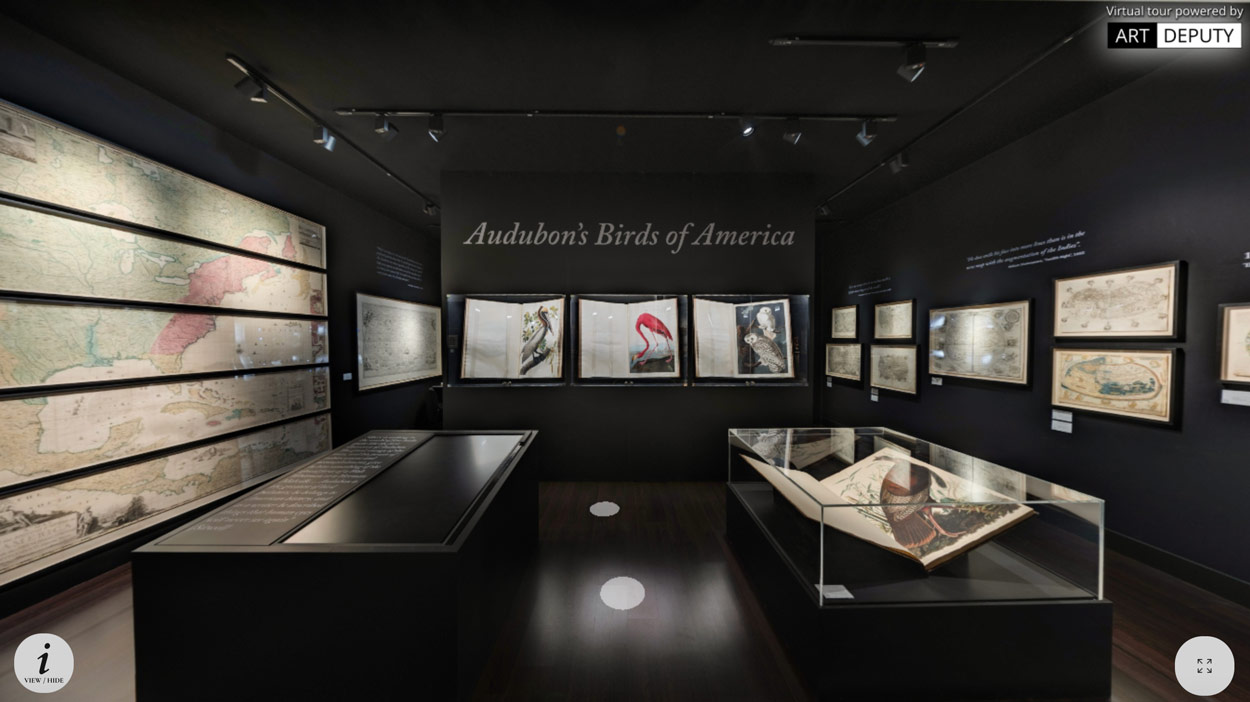
We invite you to explore the virtual tour of our stand at TEFAF Maastricht 2024.
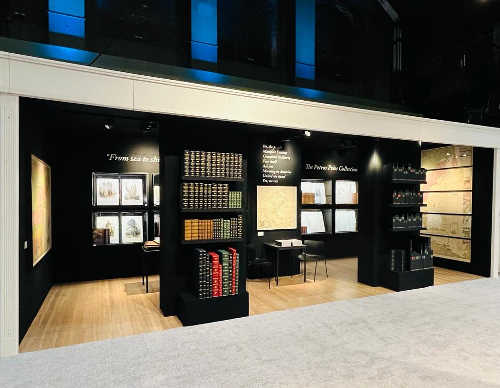
For the 70th anniversary of The Winter Show, we’re delighted to present the Petros G. Pelos collection.
A journey through 500 years of cartography, art, and science. Explore our virtual stand here.
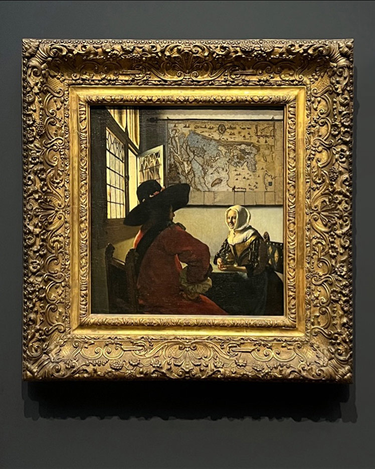
Gathering 28 of his 37 known works, the Vermeer exhibition at the Rijksmuseum in Amsterdam has brought together more of his paintings than ever before. Despite being one of the most highly anticipated and in-demand exhibitions in recent years, some of the team at DCRB were lucky enough to get a closer look at the 17th century masterpieces.
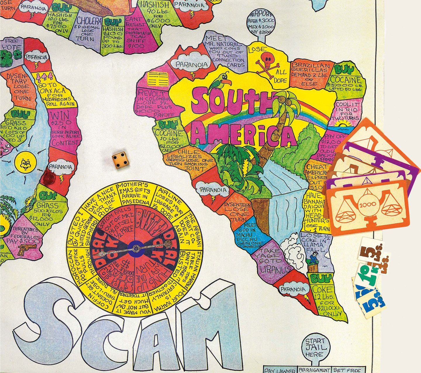
Whether alone or in teams, for pleasure or profit, sporting or seated, games have been an ever-present feature of every civilization. With multiple participants vying to achieve a goal by following a set of rules, games provide an outlet for the natural human instinct for competition without the risk incurred in, for example, battle. Indeed throughout history, many games have served as a microcosm of war, whether that involves taking down one’s opponent’s king, as in chess, taking turns to attack and defend, seen in all sorts of games from rugby to bridge, or racing to a certain destination, be it on foot or with a counter.
Maps have always been indispensable tools of war. A clear knowledge of one’s own and one’s enemy’s territory allows leaders and rulers to strategise, plan and arrange resources around the land they strive to conquer or defend. On cartographical representations, obstacles can suddenly become obvious, as too can weak-points. In today’s world of live-mapping, frequent updates on everything from traffic to changes in the travel network have also been utilised by the military. For this reason both Apple and Google recently disabled live-mapping updates in Ukraine, so that the feature would not aid the Russian invasion.
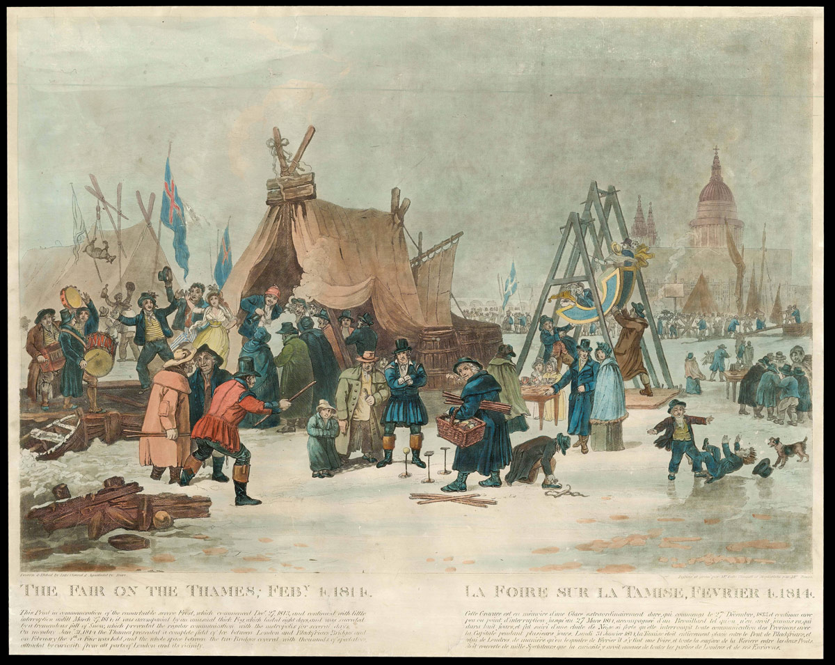
From the sixteenth to the nineteenth centuries, Europe experienced several periods of cooling known as Little Ice Ages. Many factors have been proposed to explain these dips in temperature, and their effects were likewise manifold. One of the most well-loved and well-documented results was the phenomenon of the Frost Fair.
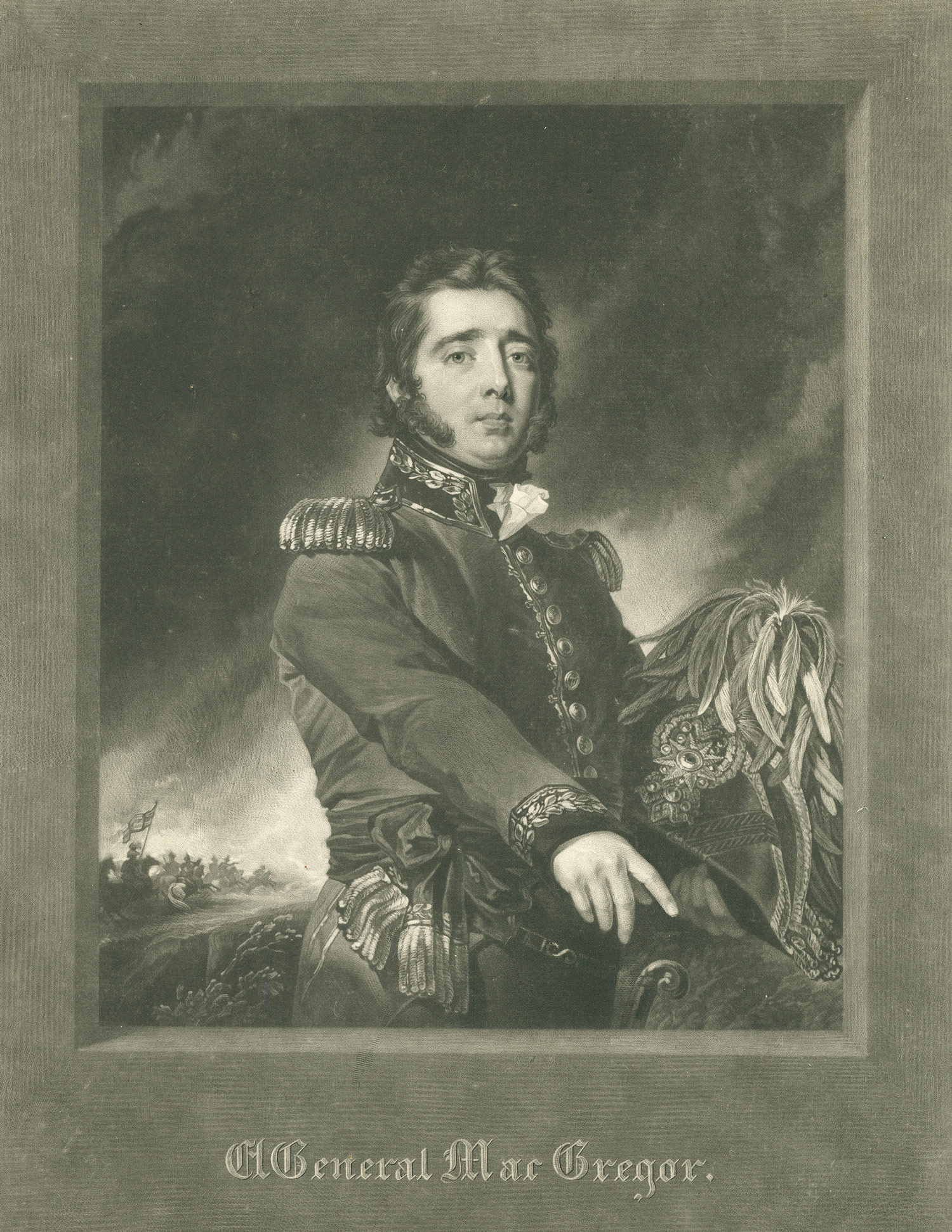
In 1820, self-proclaimed Scottish nobleman Gregor MacGregor launched one of the most audacious and elaborate frauds of all time, tricking thousands of Brits into investing in “Poyais”, a territory in Central America which turned out to be entirely fictional.
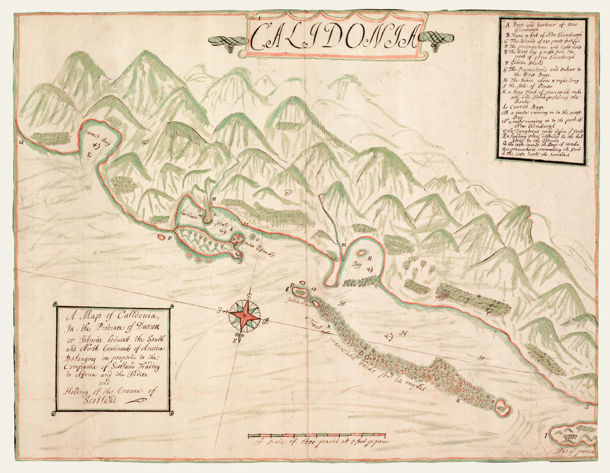
Scotland’s one and only attempt at colonisation resulted in thousands of deaths and an economic disaster that paved the way for the 1707 Act of Union.
The history of colonial exploration in Australia has often been depicted as heroic drama, by turns a tale of extraordinary good luck and terrible tragedy; extremes of fortune mirrored by the landscape, in which either “undulating grazing country”, or “stony desert” may be around the next bend.
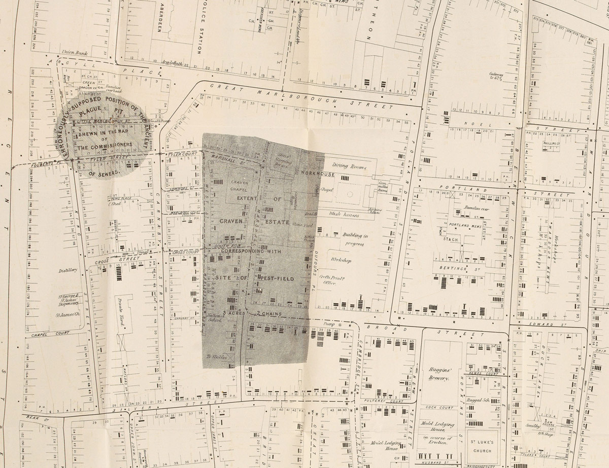
The vocabulary of disease runs parallel with the language of place and space. We talk of “spread”, “dispersal” and “distribution”, of “global” pandemics, and, however inaccurately, “The Spanish Flu” and the “China Virus”. Indeed, “The Plague of Athens” 430 BC is often cited as the earliest recorded epidemic (item 1). Our view of disease can appear decidedly geographic. The word “pandemic”, however, also has Greek origins, and comes from “Pan”, meaning “all” and “Demos”, meaning “people”. This points the finger in an altogether different direction. Whilst maps and data visualization can help us to track and understand disease, it is the actions of people that determine its cause, its dissemination, and its cure.
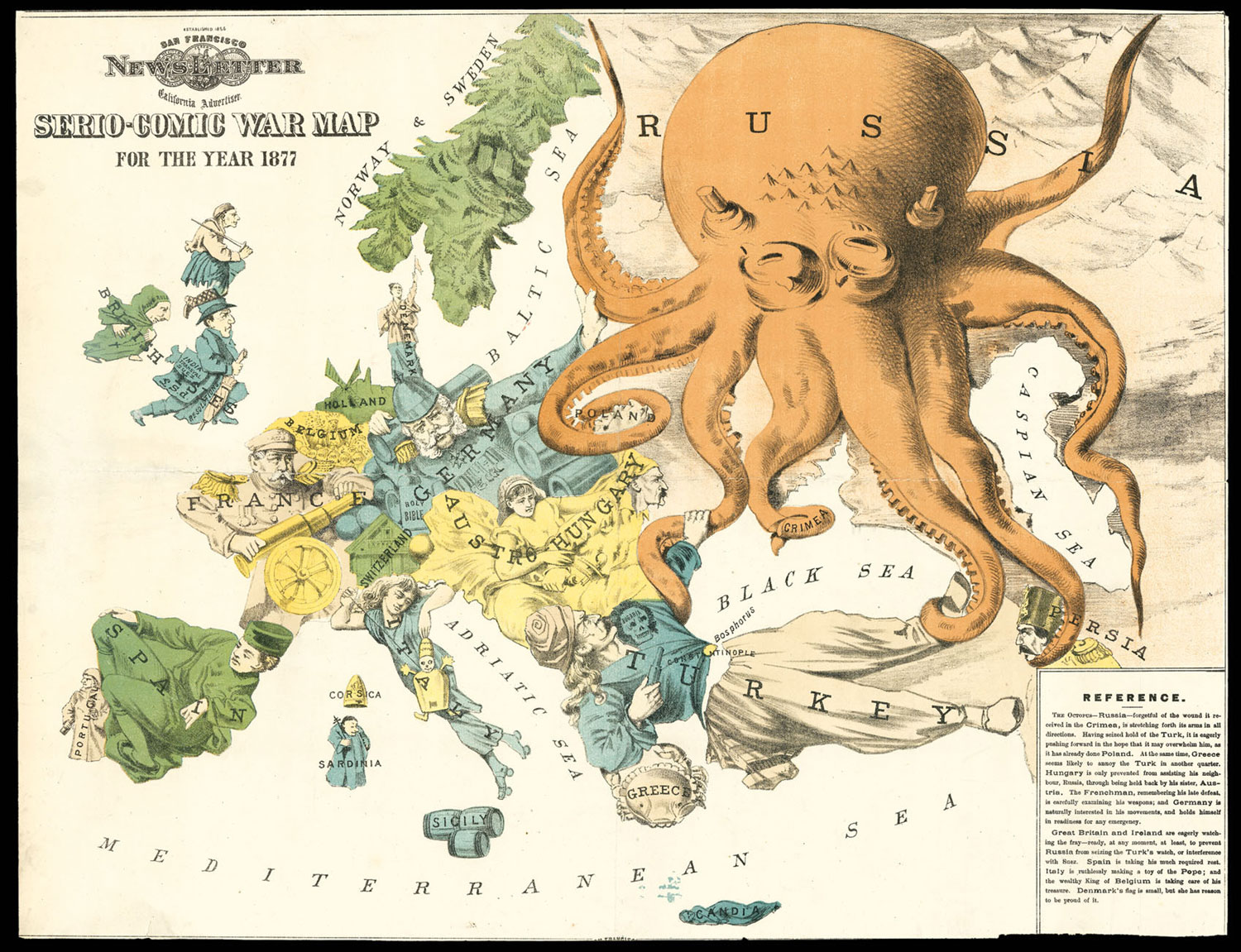
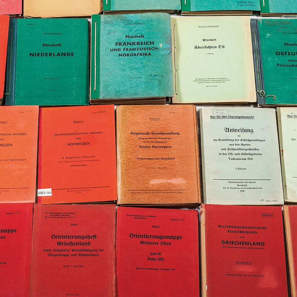
“Heute Deutschland! Morgen die Welt!” - (Germany today! Tomorrow the world!) was a popular slogan among the Nazis during their rise to power, not disguising at all their plans for world domination. The scale of this ambition is visible in the detail and the efficiency of the cartography of the Third Reich, and was made explicit with a series of maps related to Germany’s projected global empire.
Charles Booth (1840-1916): His Life & Work
Louis, Dauphin of France was the only surviving son of King Louis XV and the father of three kings of France
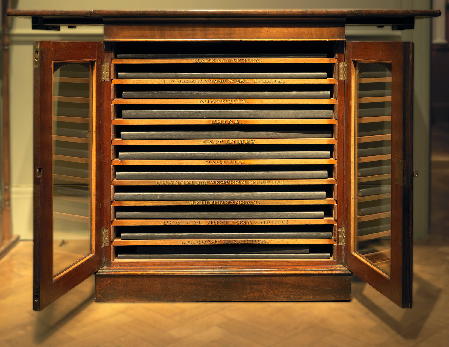
A glass-fronted chart case and set of charts from Queen Victoria's Royal Yacht Victoria and Albert (II)
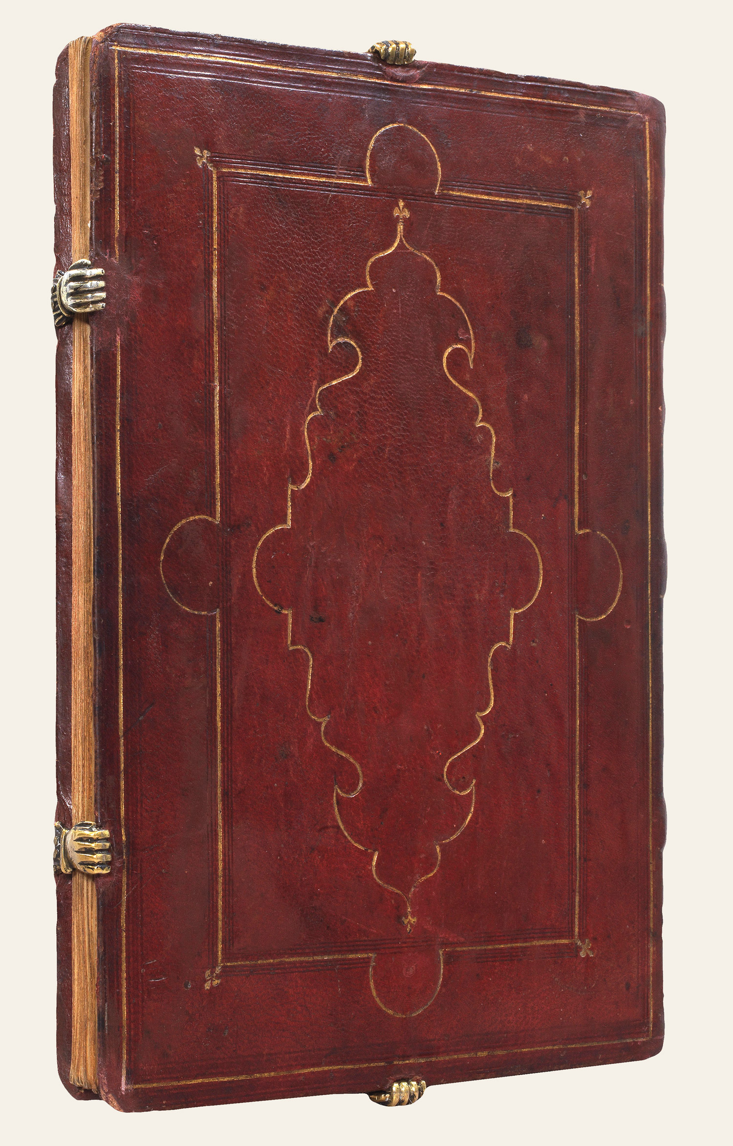
Inscribed and attributed to Agnese by the eminent bibliographer Henry Harisse
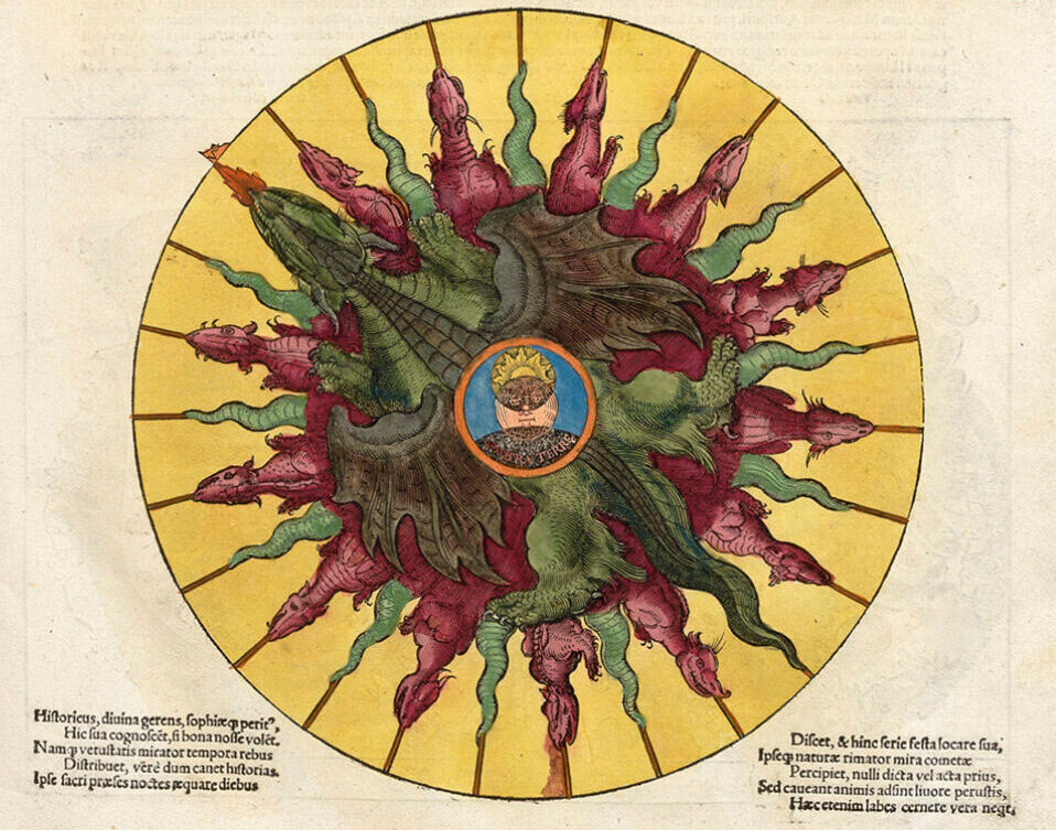
Petrus Apianus’s Astronomicum Caesareum
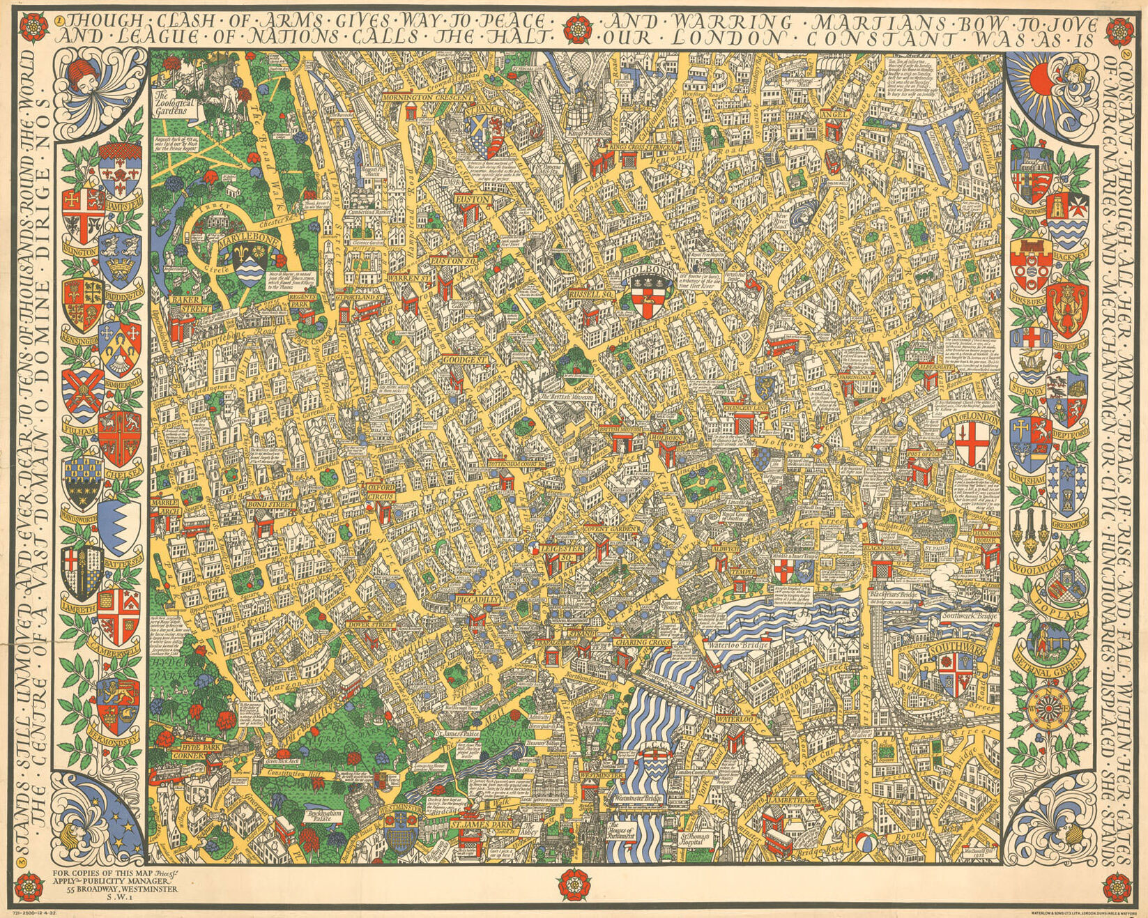
The city has been represented in a multitude of forms: London the glutton, purged by fire, the home of the rich as well as the poor, and a refuge and opportunity for strangers; a city not dissimilar to the one we inhabit ourselves.
Jacques Bassantin’s Astronomique discourse par Jacques Bassantin Escossois
地图
地图集
珍本
>版画
天文仪器


![LE JAY, Guido Michael, Peregrinatio Patriarcharum Abraham Isaac et Iacob in Terra Chanaan [and] Horti voluptatis iconographia terra, 1629.](https://crouchrarebooks.com/wp-content/uploads/2025/03/16663_1H.jpg)