Rare Maps
We specialise in rare and historic maps, dating from the 15th to the 19th centuries. Buy rare, vintage, and antique maps, town plans, and sea charts depicting the UK, America, Asia, Africa, and all parts of the world.
(593 results)
The Great Exhibition
CRUCHLEY, G[eorge] F[rederick]
£7,000
A fine and detailed plan of early Victorian London
CRUCHLEY, G[eorge] F[rederick]
£3,500
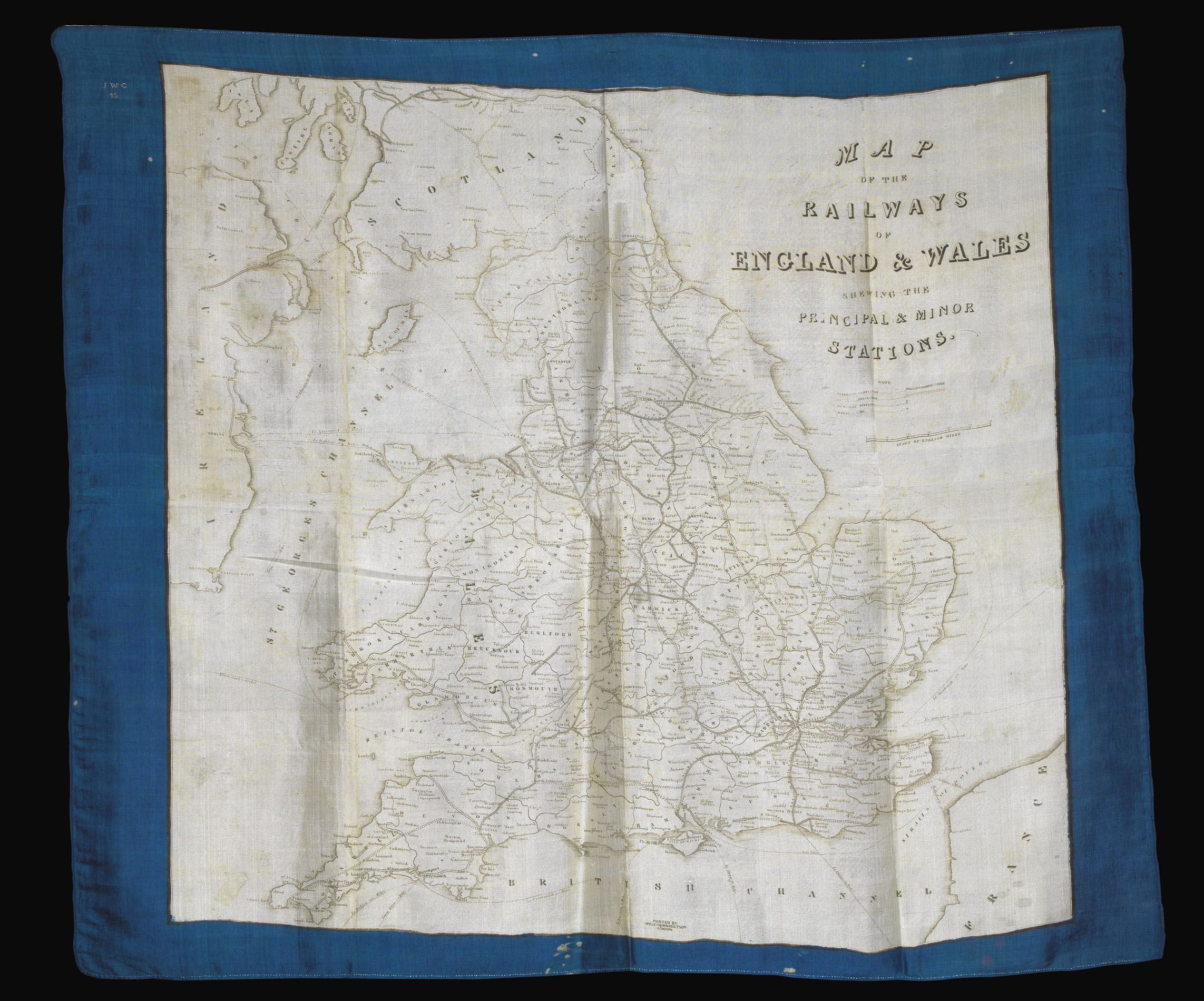
Rare railway map of England and Wales printed on silk
WELCH, MARGETSON & CO
£1,500
Four rare lithographed maps depicting the operations of the British Army on the River Sutlej during the First Anglo-Sikh War of 1845-46
BAKER, Captain [William Erskine]; Lieutenant [Richard] STRACHEY; Lieutenant HODGSON; Brigadier Edward SMITH; Lieutenant Colonel W[illiam] GARDEN
£30,000
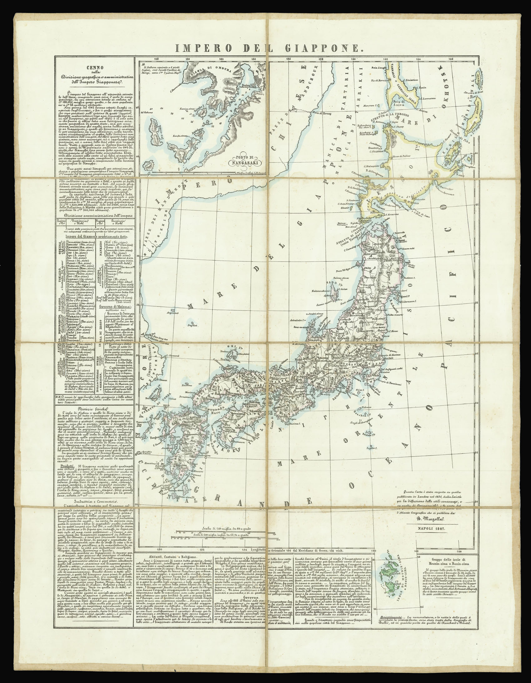
A map of Japan from Benedetto Marzolla’s ‘Atlante geografico’
MARZOLLA, Benedetto after the Society for the Diffusion of Useful Knowledge and ARROWSMITH, Aaron
£150
Marylebone
LUCAS, George Oakley
£4,000
From Benedetto Marzolla’s “Atlante geografico”
MARZOLLA, Benedetto after the Society for the Diffusion of Useful Knowledge and ARROWSMITH, Aaron
£135
Chesney’s and Plate’s map of Arabia and Syria
CHESNEY, [Francis Rawdon] and W[illiam] H[enry] PLATE
£40,000
Charting the course of the last Falmouth Packet
LESLIE, W[alter] Lieutenant Commander
£2,500
The most important nineteenth century plan of the city of Oxford
HOGGAR, Robert Syer
£3,500
Rare chart of Porto Rico and the Virgin Islands
HOBBS, J[ohn] S[tatton]
£5,000
Fiji under the British
WYLD, James
 Rare Maps
  Rare Atlases
  Rare Books
  Rare Prints
  Globes and Planetaria


