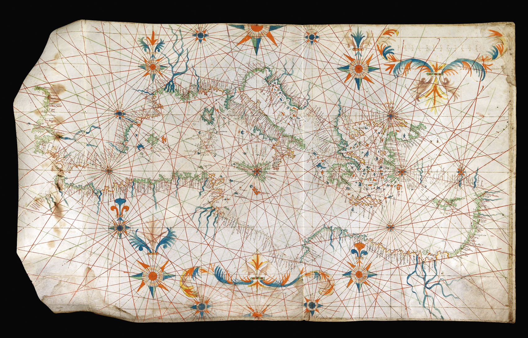

[Portolan chart].
- Author: ?OLIVA
- Publication date: c.1630
- Physical description: Pen, ink, and wash colour on vellum, extending west to east from Cape Finisterre to the Holy Land, and north to south from the Adriatic to the north coast of Africa, islands in green and red, rivers in blue, numerous coastal place-names in red and sepia in semi-italic lettering, 16 large and small compass roses the majority with fleur-de-lys north points, 2 half compass roses, the whole chart divided by red, green, and sepia, rhumblines extending from the compass roses, sepia-ruled borders, scale upper right, two horizontal creases indicate that the chart was folded, some dampstaining to left hand portion of chart, remnants of paper backing to verso.
- Dimensions: 420 by 710mm (16.5 by 28 inches).
- Inventory reference: 10814
Notes
A fine and striking portolan chart of the Mediterranean.
The simplicity of the decoration could be an indication that the chart was produced for a ship’s captain or for the office of a mercantile clientele.
The chart bears some stylistic similarities with the those produced by the later members of the Oliva family of mapmakers; for example in the depiction of Malta and Rhodes in red with white cross, and in the placement of a compass rose in upon Sicily. The Olivas, a family of Catalan chartmakers, produced their first chart in Majorca before 1550. Charts signed by at least 16 members of the Oliva family are recorded, with dates between 1538 and 1673. The charts were produced in a number of ports, including Majorca, Messina, Livorno, Florence, Venice, Malta, Palermo and Marseilles. This decorative style, which began in the 15th century, flourished in the mid- to late-16th-century particularly in Southern Spain, Majorca, Marseilles and Genoa. This example is particularly fine in its composition and draws inspiration from early charts.
 Rare Maps
  Rare Atlases
  Rare Books
  Rare Prints
  Globes and Planetaria


