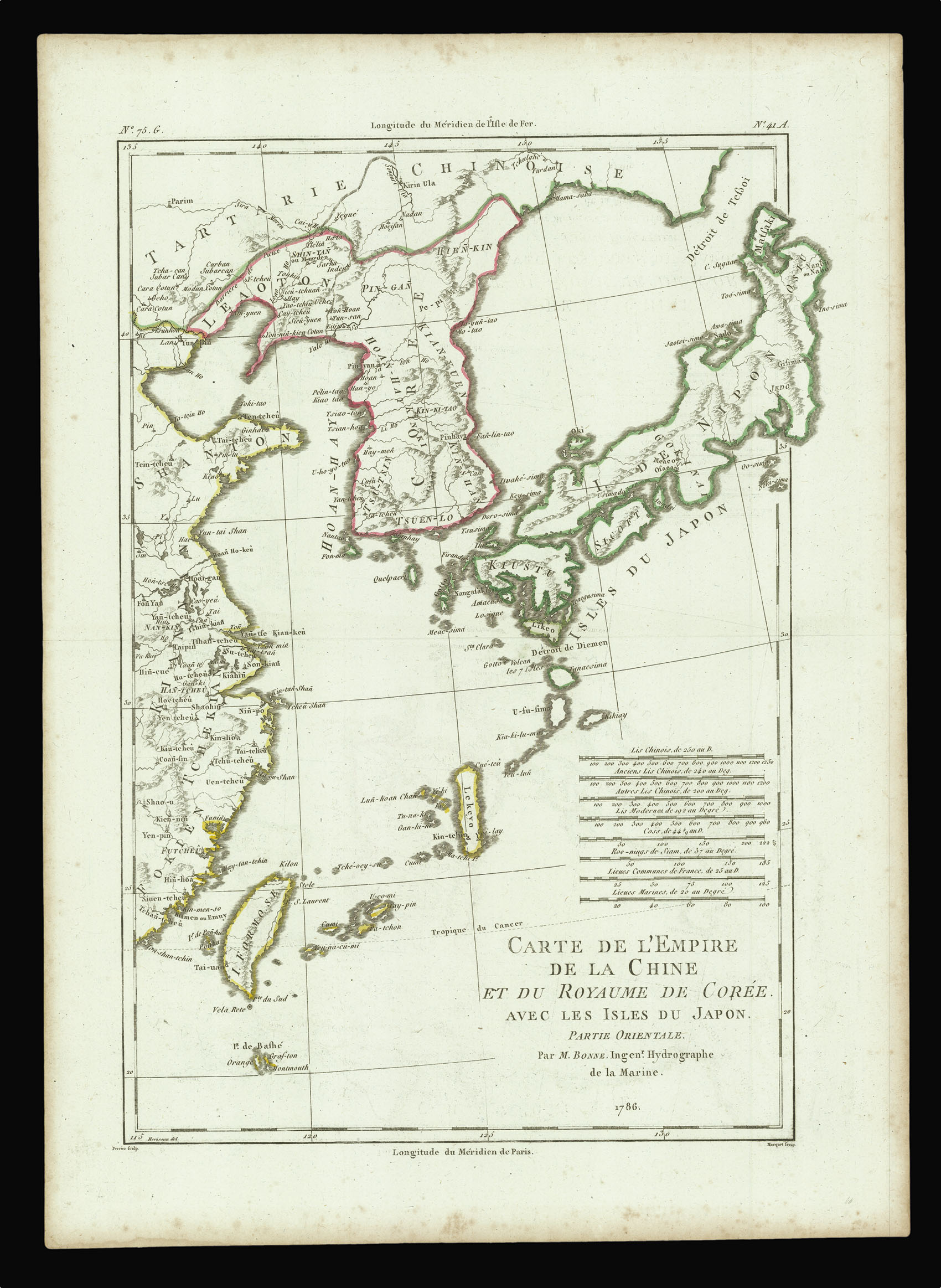
Carte de L'Empire de la Chine et du Royaume de Corée avec les Isles du Japon Partie Orientale. Par M. Bonne. Ingenr. Hydrographe de la Marine.
- Author: BONNE, Rigobert and PERRIER, François Gabriel
- Publication place: [Paris
- Publisher: Rigobert Bonne
- Publication date: 1786].
- Physical description: Engraved map with original outline hand colour.
- Dimensions: 386 by 277mm. (15.25 by 11 inches).
- Inventory reference: 15895
Notes
A map of Japan by Rigobert Bonne, perhaps modelled on the cartography of Louis Brion de la Tour. It was included in Bonne’s ‘Atlas Portatif Générale’.
Rigobert Bonne (1727-1789) was a French cartographer and engineer, succeeding Jacques Nicolas Bellin as chief hydrographer at the Dépot de la Marine.
François Gabriel Perrier (fl.1760-1824) was a French engraver. He became géographe du roi in 1779.
“Whereas de la Tour showed the southern part of Hokkaidō to the point where it met the north of Honshū, Bonne truncates the peninsula and creates a small island which he names as Matsaki. There are just over a dozen place-names on the Japanese islands suggesting that Bonne was simply showing the relative positions of Chinese Tartary, Korea, Formosa and the China mainland to Japan” (Hubbard).
Bibliography
- Hubbard 121
- Shirley T.BONN-4a.
 Rare Maps
  Rare Atlases
  Rare Books
  Rare Prints
  Globes and Planetaria


