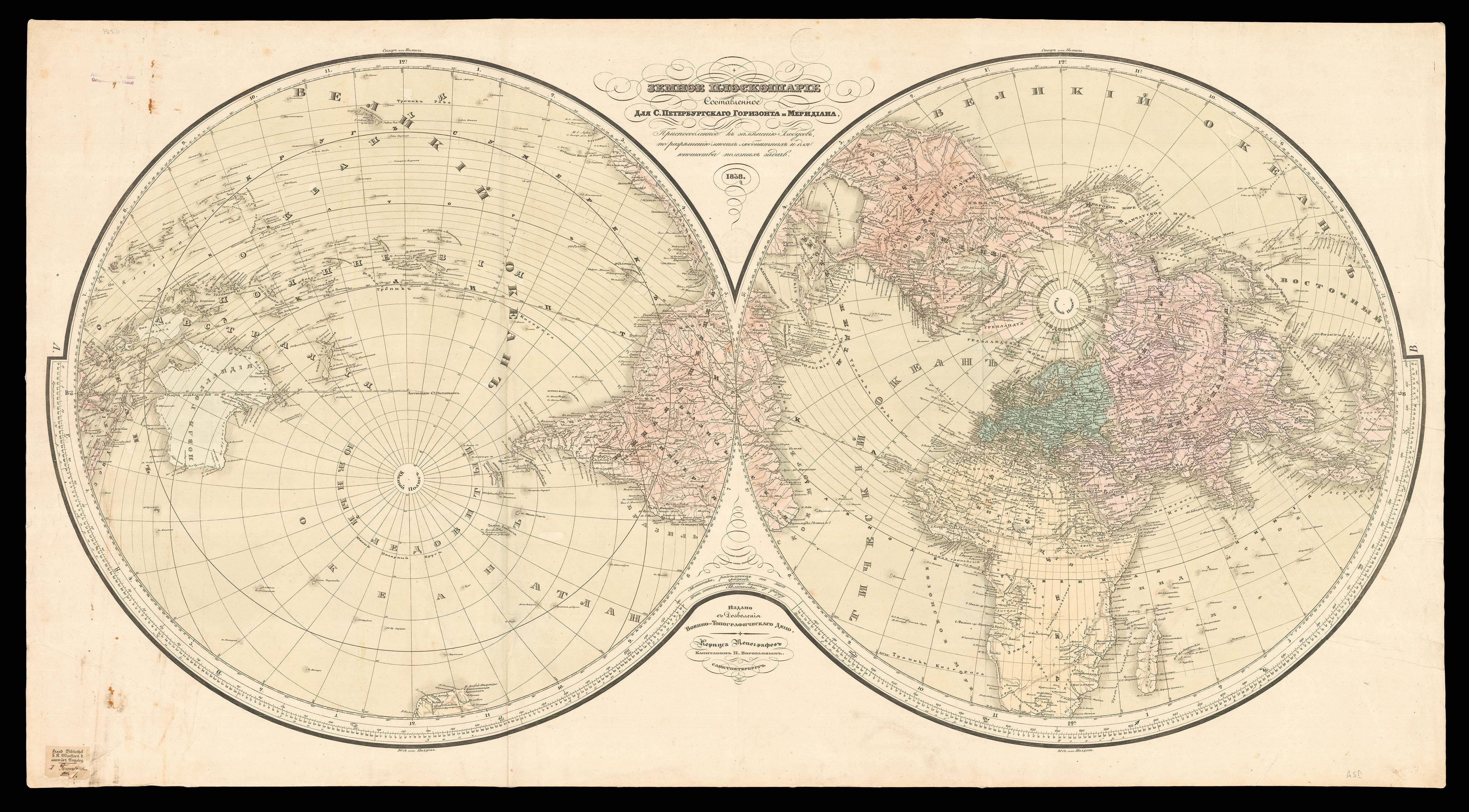

Total War Battle Map Designed and Drawn by Ernest Dudley Chase of Winchester, Massachusetts U.S.A. Certain Victory Will be Ours!
- Author: CHASE, Ernest Dudley
- Publication place: Winchester, Massachusetts
- Publisher: Ernest Dudley Chase
- Publication date: 1942.
- Physical description: Folding chromolithograph map.
- Dimensions: 400 by 920mm. (15.75 by 36.25 inches).
- Inventory reference: 1844
Notes
A patriotic World War II pictorial battle map of the world on Mercator’s projection, subtitled: “Certain Victory Will be Ours!” Published during the first year of U.S. entry into the war, the map orients the American viewer with numerous legends noting the distances between locations in the U.S. and theaters of the war, such as San Francisco to Manila. The legend contains symbols for British Possessions, joint British and U.S. possessions, U.S. possessions, Japanese, French, and Dutch possessions, pre-war boundaries, naval bases and railroads. Japanese- and German-occupied or controlled areas are shown in black. Inset pictures show U.S. weapons: coast artillery, mobile field gun, new anti-aircraft gun mounts by Westinghouse, a Yank Tank, and a Flying Fortress. Small illustrations of battleships and airplanes are shown in and above the oceans. The letter V peeks out from behind the cartouche and is worked into the design of the border, as explained in the inset caption: “A Battle Map, to set the stage For ‘total war’ on land and sea; And, in the border, just a hint — A prayer for total Victory!” Chase made at least one other related map, The Victory War Map (1942), which focused on the European theatre.
 Rare Maps
  Rare Atlases
  Rare Books
  Rare Prints
  Globes and Planetaria


