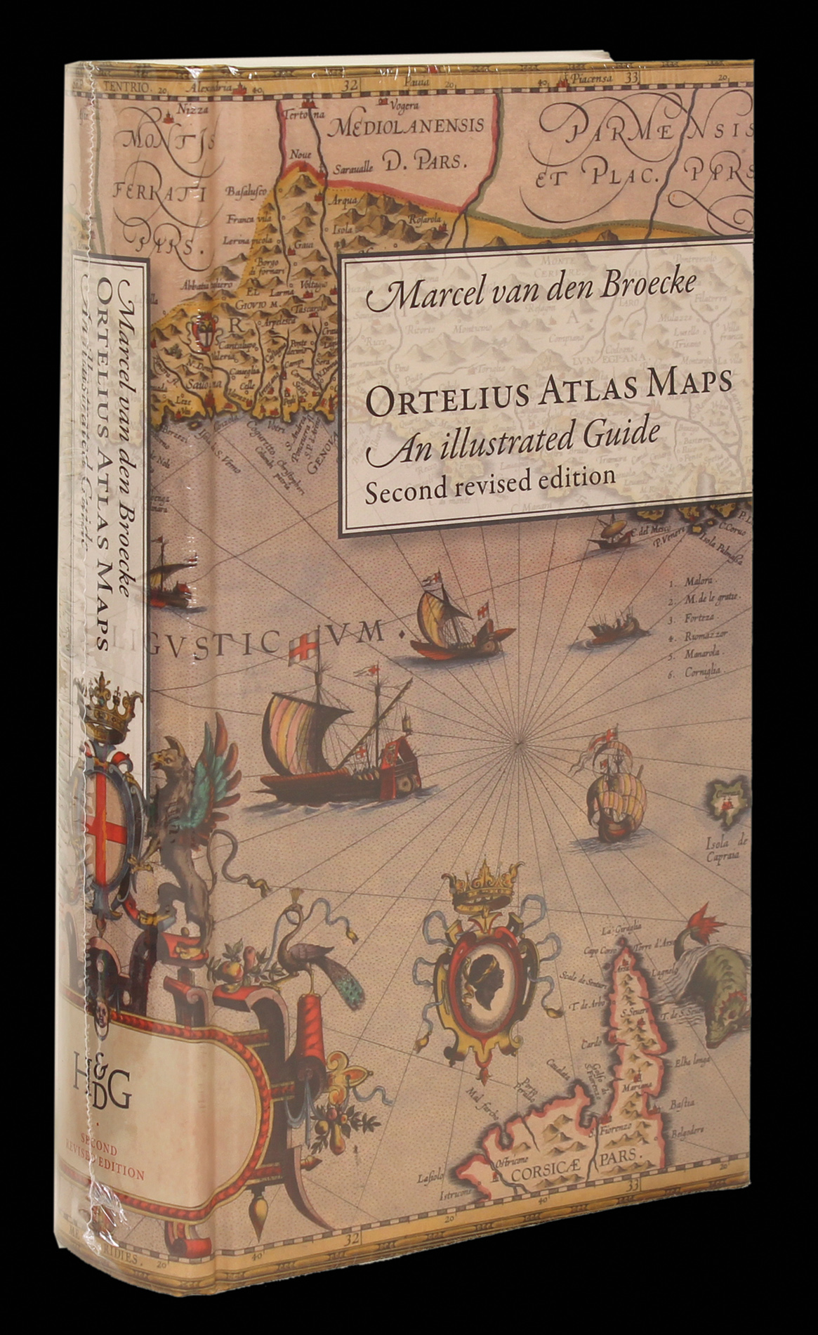
Ortelius Atlas Maps An Illustrated Guide. Second revised edition.
- Author: BROECKE, Marcel van den
- Publisher: Brill, Hes & De Graaf
- Publication date: 2011.
- Physical description: Hardback, (510 x 235mm ) 712 pages, 240 illustrations.
- Inventory reference: 1423
Notes
Ortelius Atlas Maps by Marcel P. R. van de Broecke was the first book to describe the various editions of the famous atlas Theatrum Orbis Terrarum (1570).
After the publication of Ortelius Atlas Maps, the numbering of the maps given by van den Broecke became the international standard numbering system for cartography books, articles, and auction and dealer catalogues. Each is identified by its “van den Broecke” or “vdB” number.
This revised edition contains corrections, extra information to date the charts more correctly, descriptions of title pages, and a portrait of Ortelius. The book is a practical and informative manual that gives an extensive overview of the Theatrum Orbis Terrarum and includes descriptions of all the maps that appeared in this famous first atlas by Abraham Ortelius. It provides illustrations and information on the various editions of every map that has appeared in the Ortelius Atlas and includes valuable information on the dating and origins of the maps.
Examples of changes to the new edition in-clude: of the 234 atlas maps listed, six (viz. Ort27, Portugal; Ort64, Liége; Ort174, Artois; Ort188, Roman Empire; Ort195, Gallia Vetus; and Ort225, Erythraei) turned out to be later states of existing plates. One plate, Ort178, Geographia Sacra, turned out to be a later copy by Janssonius of Ort179, Geographia Sacra. Details about these corrections are given under the specific maps. Another addition is a new plate that has surfaced since the first edition in 1996: Ort11(1), a very close copy of the early state of Ort11, the third plate of the Americas. In 1996, 372 different states were reported for 234 plates. Now, 524 states are reported for 229 plates.
This new edition also includes a description of the fourth plate of the Americas, additional title pages, the last lines of text printed on verso of each map in every edition in which that occurs, translated text blocks, and acknowledgements and references.
 Rare Maps
  Rare Atlases
  Rare Books
  Rare Prints
  Globes and Planetaria


