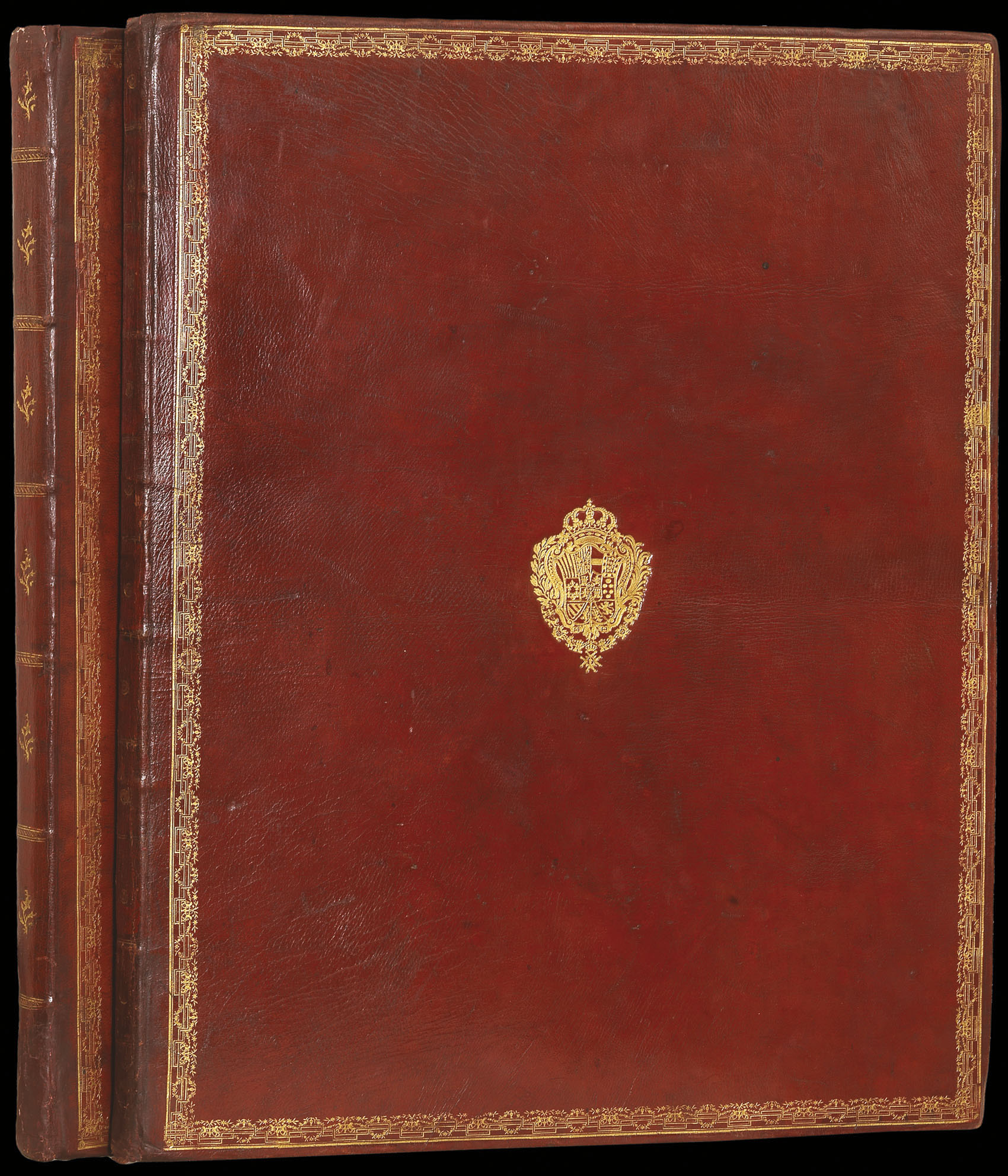


The first Spanish sea atlas
Atlas Maritimo de España.
- Author: TOFINO DE SAN MIGUEL, Vincente
- Publication place: Madrid
- Publication date: 1787-1789.
- Physical description: Folio atlas (605 by 480mm), engraved title and 47 double-page engraved mapsheets incorporating 37 charts and 10 leaves of views and coastal profiles, letterpress contents leaf pasted to upper marbled paper paste-down, contemporary Spanish red morocco gilt, large coat-of-arms of Charles III of Spain on covers, upper cover with border composed of repeated tool, spine gilt in compartments decorated with gilt ship motif.
- Inventory reference: 1239
Notes
The definitive edition of the first and second parts of the first Spanish sea atlas.
King Carlos III commissioned Tofino, then Brigadier in command of the Midshipman’s Academy, to begin work on this atlas in June 1783. The first part of the atlas, covering Spain’s Mediterranean coast, was completed in 1787, with a second Atlantic and Islands volume appearing in 1789. A second combined edition was issued later that same year incorporating two further charts. The present book is a magnificent example of this definitive edition.
Bibliography
- Phillips, Atlases 9305 and 9306
- Shirley, British Library M.TOF-1a.
- NMM 3:475
Image gallery
/
 Rare Maps
  Rare Atlases
  Rare Books
  Rare Prints
  Globes and Planetaria


