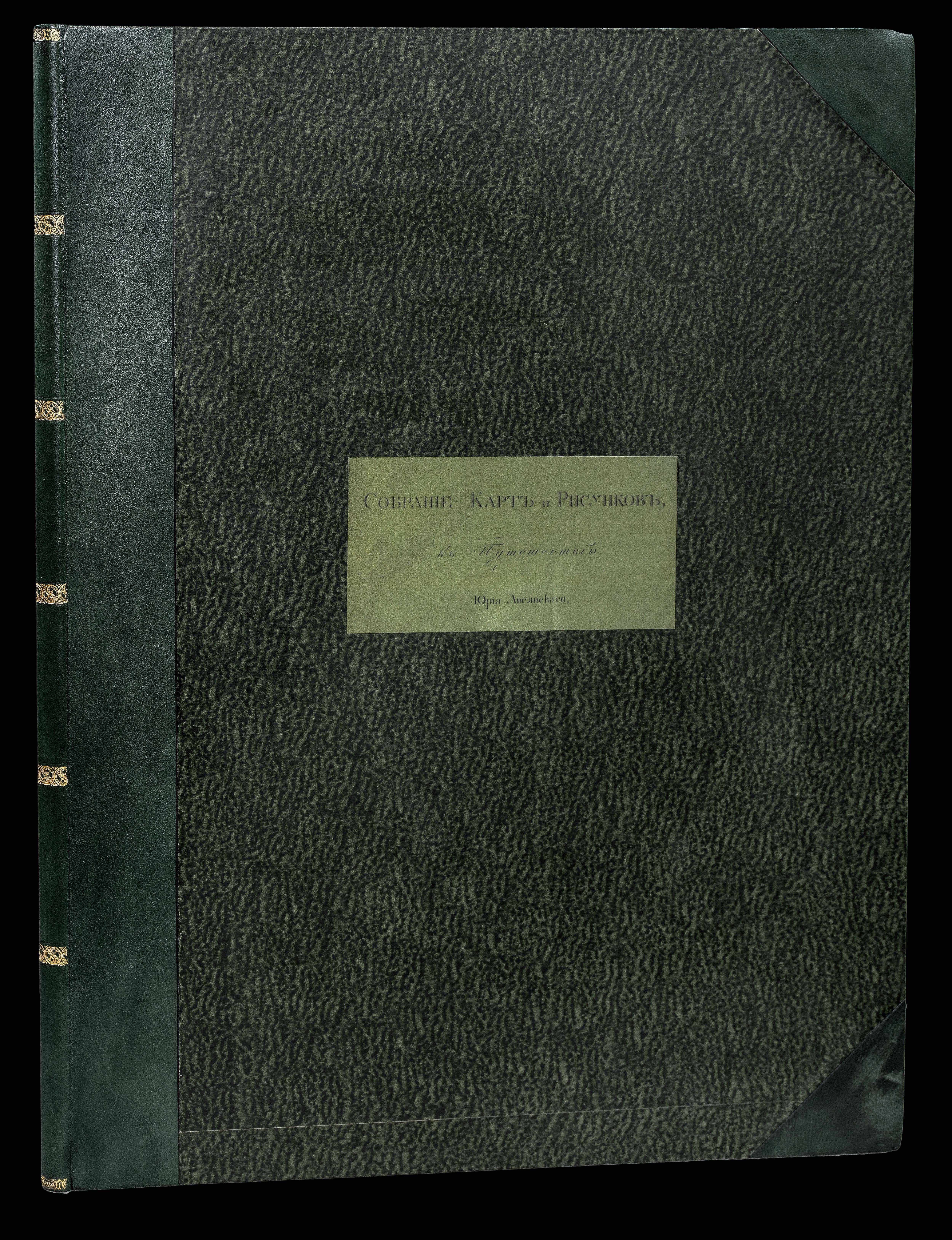


Collection of maps and plates belonging to the Voyage of Yuriy Lisyanskiy (...) in the ship Neva. Sobraniye kart i risunkov prinadlezhashchikh k Puteshestviyu Flota Kapitana I-go ranga i Kavalera Yuriya Lisyanskogo, na korable Neve.
- Author: LISYANSKIY, Yuriy Federovich
- Publication place: Moskaya Tip., Skt. Petersburg
- Publication date: 1812.
- Physical description: Large folio (64 x 49 cm). Engraved title page, 13 maps, including 6 double-page, the first double-page map with hand-coloured outlines, and 3 engraved plates; title with repaired closed tear and marginal repair, occasional light spotting, more on the title. Recent green half-morocco over marbled boards, label in Russian to upper cover.
- Inventory reference: 15132
Notes
The very rare atlas to the first edition of Lisyanskiy’s voyage.
Lisyanskiy, commanding the Neva, participated in the first Russian circumnavigation of the globe under the command of Kruzenshtern. While Kruzenshtern on his ship the Nadezhda spent most of his time in Kamchatka and Japan, Lisyanskiy with his ship crossed to Sitka and Kodiak, and played an important role in Baranov’s reoccupying the original Russian fort and settlement there. It had been previously overrun by Kolosh indians, who had massacred the entire garrison of the Russian-American Company.
Next to maps of these regions, the present atlas also shows local artefacts, including boats and dress, each with a figure indicating the scale of reduction – sometimes up to 16 times.
The Neva arrived at Hawaii on June 8th, 1804. The atlas contains a map of Hawaii showing the whole island group, with the route of the ship showing that it coasted along the Kau coast of Hawaii, anchored in Kealakekua Bay, then continued along the Kona coast before heading to Waimea, Kauai, where it anchored. Hawaiian artefacts are also illustrated in one of the plates.
The maps and plates of the present example are as described in Obolyaninov, unlike Lada-Mocarski and Forbes, that is:
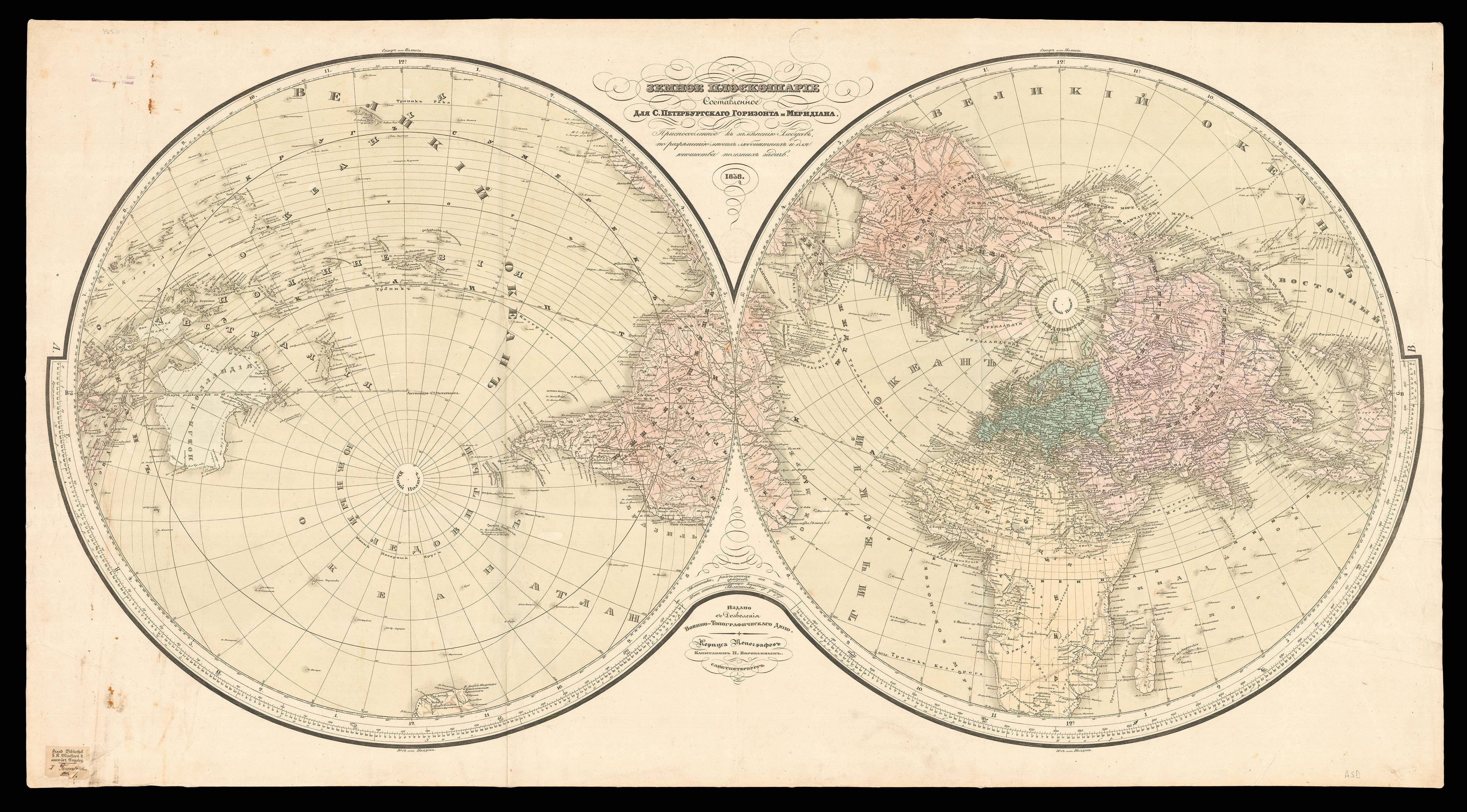
– Karta zemnago shara [Map of the World, double spread]
– Karta […] proliv, otdelyayushchiy ostrov Sv. Ekateriny ot materago berega Brazili [Map of the Strait between the Island of St. Catherine and the Mainland of Brazil, single sheet]
– Ostrov Rogeven ili Sv. Paskhi [Map of Easter Islands, here alone on a single sheet, unlike Lada-M. and Forbes]
– Ostrova Markezskie i Vashingtonovy [Map of the Marquesas and Washington Islands, double spread unlike Lada-M. where it is on a single sheet]
– Ostrova Sandvichevy. Gubi Karekekui [Map of the Sandwich Islands, single sheet]
– Karta Rossiyskikh Vladeniy v Severozapadnoy chasti Ameriki [Map of the Russian Possessions on the Northwest Coast of America, double spread]
– Kadyak s okruzhayushchimi ego ostrovami [Map of Kadiak and Surrounding Islands, double spread]
– Zaliv Chiniatskoy i gavan Pavlovskaya [Map of Chiniat Bay, single sheet]
– Gavan Trekh Svyatiteley [Map of the Port of the Three Saints, here on single sheet]
– Zaliv Sitka […] Novoarkhangelsk [Map of Sitka Bay, double spread; there is another ?later version with two coast profiles in the blank space lower left]
– Ostrov Lisyanskago [Map of Lisianskii Island, single sheet]
– Karta prolivov Gasparskago i Bilintona [Map of Gaspar and Bilinton Straits, single sheet]
– Karta proliva Zondskago [Map of Zond Strait, single sheet]
– plate I: Veshchi, upotreblyamyya zhitelyami ostrovov Vashingtonovykh [Artifacts used by the inhabitants of Washington Islands, single sheet]
– plate II: Veshchi, prinadlezhashchiya zhitelyam ostrovov Sandvichevykh;. Veshchi, zhiteley Sintkenskikh. Veshchi, prinadlezhashchiya zhitelyam Ostrova Kadyaka [Artifacts and clothing used by the inhabitants of the Sandwich Islands and by those of Sitka, single sheet]
– plate III: Objects (baidars, etc.), also picture of a flying fish, a bird, etc., taken from various points on this voyage. The flying fish is here represented in full scale.
Lada-M. mentions in the atlas an engraved plate of Lisyanskiy’s portrait. Possibly present in the Univ. of Hawaii copy, this plate is however not bound in the atlas of most copies we could trace (Rasmuson, Bancroft, Bizzell…), but rather in the text volumes. We could confirm this also on examples of the text volumes seen on the market in the past years. This would indeed make more sense considering the habit of early 19th-c. Russian publishing to place a portrait as frontispiece to text volumes. Interestingly, Obolyaninov mentions this plate, but takes an example of a copy without it. The Yale copy doesn’t have it either in the atlas nor in the text volumes.
We could not trace any copy at auction in the last half-century.
Forbes gives two locations: University of Hawaii and Yale University; to which we could add only five other ones outside Russia: the Rasmuson Library in Alaska, the Bancroft Library in California, the NY Public Library and the Bizzell Memorial Library in Oklahoma, together with an example at the BnF, apparently the only copy outside the United States. The Harvard copy lacks the atlas, and we are aware of another example in private hands.
Provenance
Imperatorskaya Ermitazhnaya Russkaya Biblioteka (Library of the Hermitage, label to title).
Bibliography
- Forbes 428
- Sabin 41416
 Rare Maps
  Rare Atlases
  Rare Books
  Rare Prints
  Globes and Planetaria


