 Rare Maps
  Rare Atlases
  Rare Books
  Rare Prints
  Globes and Planetaria
 Sign up to hear about our latest acquisitions, exhibitions and events


Find Us
New York
PO Box 329, Larchmont, NY, USA
Opening hours, London Gallery
Monday to Friday: 10:00 – 18:00
Saturday: by appointment
Closed: all bank holidays and 1-31 August
Opening hours, New York
By appointment only
Opening hours

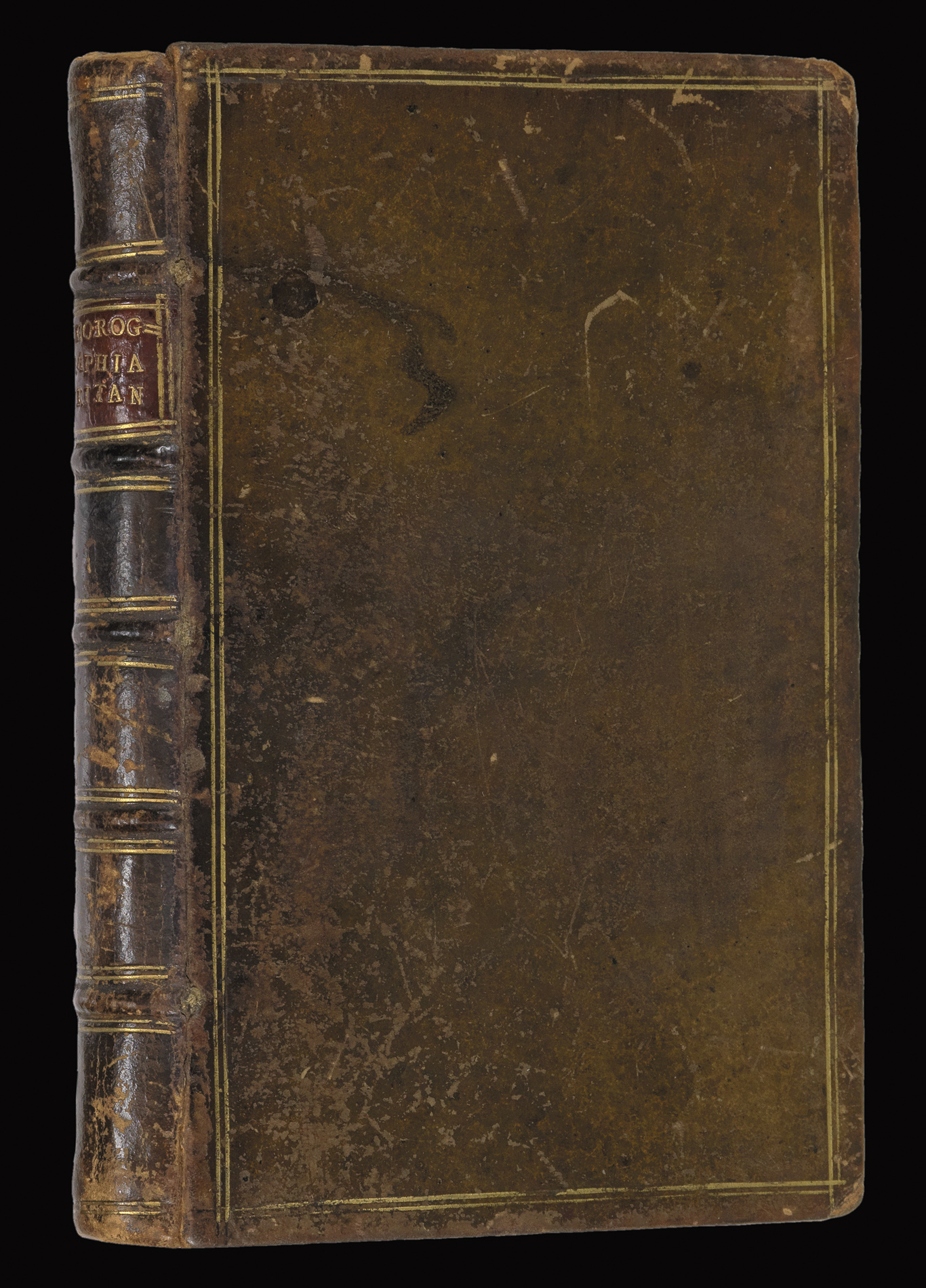


Chorographia Britanniae or a Set of Maps of all the Counties in England and Wales: to which is prefix’d the following general maps, viz.
- Author: BADESLADE, Thomas [and] TOMS, William Henry
- Publication place: [London]
- Publisher: Printed for and Sold by W.H. Toms, Engraver in Union Court, near Hatton Garden, Holborn
- Publication date: 1742.
- Physical description: 4to, First edition (250 by 270mm), title, forty-six engraved maps, (of which 42 are county maps), all with fine original full-wash colour, five engraved tables, original calf, gilt fillet border, spine in six compartments gilt.
- Inventory reference: 2500
Notes
Fine example of Badeslade’s ‘Chorographia Britaniae’.
Badesdale’s fine county atlas of England and Wales. The atlas contains forty-two engraved maps of the counties, and four of England and Wales, together with the five engraved tables detailing high roads, cross roads, and principal towns.
“The atlas was perhaps one of the two or three of the best-selling county atlases to be published before Cary’s New and Correct English Atlas appeared in 1787. It was the first eighteenth-century county atlas to be truly pocket size (when the sheets were folded and bound on guards), and like its road-book equivalent, Britania depicta, it immediately found a substantial and hitherto unexploited market” (Hudson)
The atlas is dedicated to the Prince of Wales (1707-1751) the eldest son of George II and father of George III, as well as the great-grandfather of Queen Victoria.
Bibliography
- Chubb CLXX
- Hodson 188.
Image gallery
Related items


Sign up to hear about our latest acquisitions, exhibitions and events
Find Us
New York
PO Box 329, Larchmont, NY, USA
Opening hours, London Gallery
Monday to Friday: 10:00 – 18:00
Saturday: by appointment
Closed: all bank holidays and 1-31 August
Opening hours, New York
By appointment only