Rare Maps
We specialise in rare and historic maps, dating from the 15th to the 19th centuries. Buy rare, vintage, and antique maps, town plans, and sea charts depicting the UK, America, Asia, Africa, and all parts of the world.
(624 results)
The first English printed map of Asia
SPEED, John
£2,500
The first English map of Africa
SPEED, John
£2,500
Speed’s map of Greece
SPEED, John
£700
Speed’s map of Italy
SPEED, John
£2,500
Speed’s map of Montgomeryshire
SPEED, John
£500
Speed’s map of Northamptonshire
SPEED, John
£700
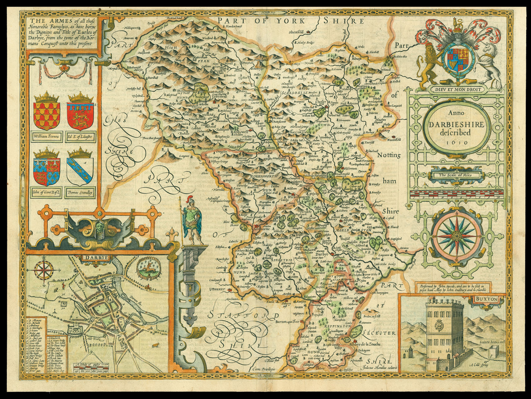
Speed’s map of Derbyshire
SPEED, John
£900
Speed’s battle map
SPEED, John
£1,500
First edition, first state of Speed’s iconic world map
SPEED, John
£10,000
“Your Lord God leads you into the good land”
[HONDIUS, Henricus]
£150
“…the six maps of England that are bound up for the pocket” (Samuel Pepys)
[HOLLAR, Wenceslaus]
£5,000
The Verney Copy of the first edition of the Quartermaster’s Map
HOLLAR, W[enceslaus]
 Rare Maps
  Rare Atlases
  Rare Books
  Rare Prints
  Globes and Planetaria


