 Rare Maps
  Rare Atlases
  Rare Books
  Rare Prints
  Globes and Planetaria
 Sign up to hear about our latest acquisitions, exhibitions and events


Find Us
New York
PO Box 329, Larchmont, NY, USA
Opening hours, London Gallery
Monday to Friday: 10:00 – 18:00
Saturday: by appointment
Closed: all bank holidays and 1-31 August
Opening hours, New York
By appointment only
Opening hours

Rare Maps
We specialise in rare and historic maps, dating from the 15th to the 19th centuries. Buy rare, vintage, and antique maps, town plans, and sea charts depicting the UK, America, Asia, Africa, and all parts of the world.
(593 results)
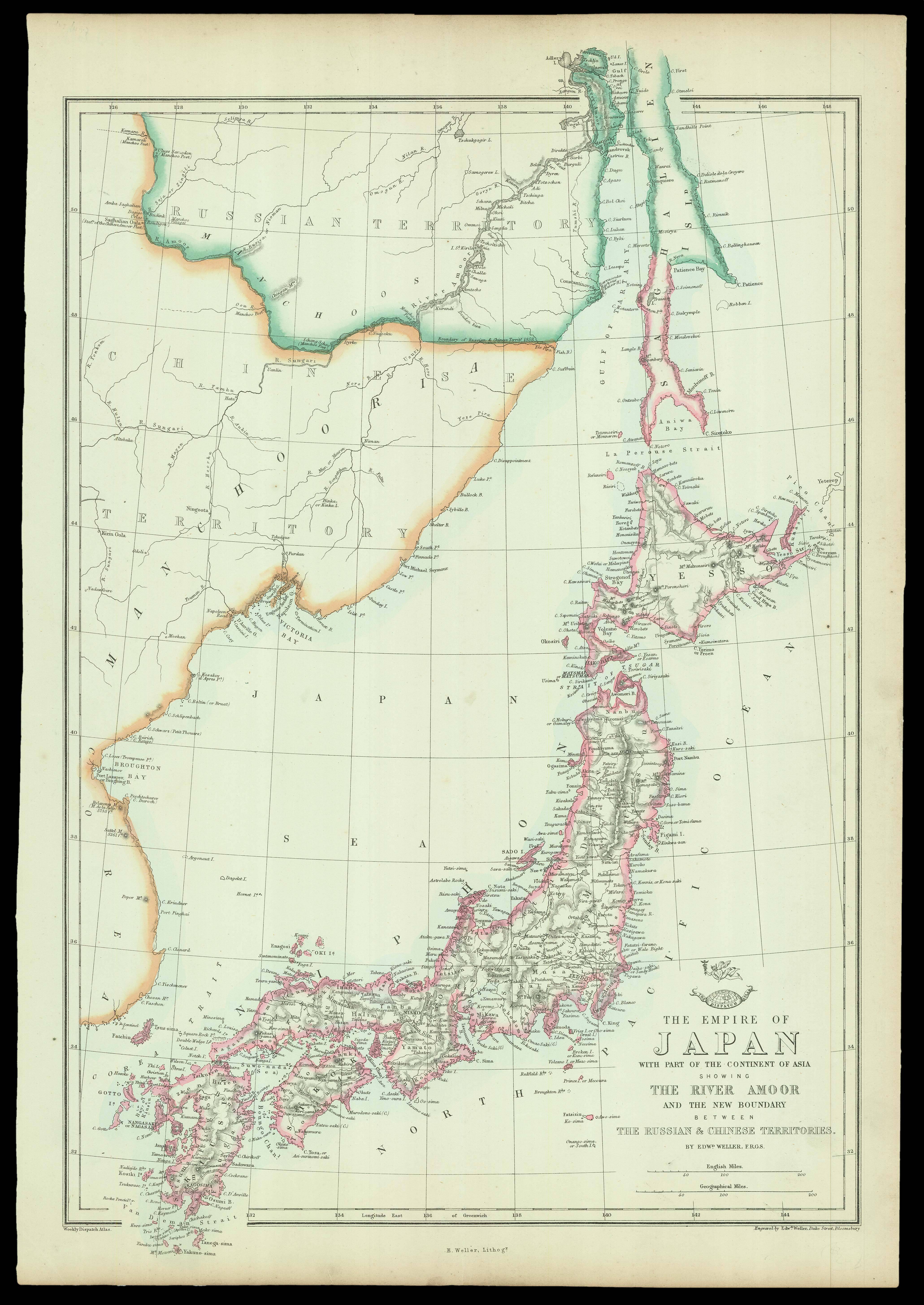
The Empire of Japan with part of the Continent of Asia
WELLER, Edward
£150
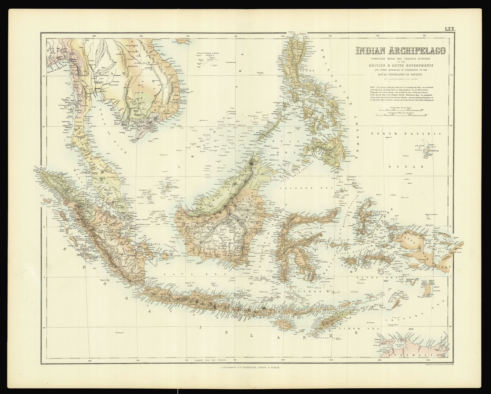
Bartholomew’s Southeast Asia
BARTHOLOMEW, J.
£150

A chart of the Bahamas
QUESADA, Jose Maria de & NOGUERA, Juan.
£4,000

A map of Japan by Edward Weller from the ‘Weekly Dispatch Atlas’
WELLER, Edward
£150

The Sea of Marmara with Istanbul and the Bosphorus
MANGANARI, Captain and SPRATT, Captain Thomas Abel Brimage
£1,500

A map of Japan from the ‘Imperial Atlas’
WELLER, Edward
£150

One of the largest world maps ever printed
VERBIEST, Ferdinand
£180,000
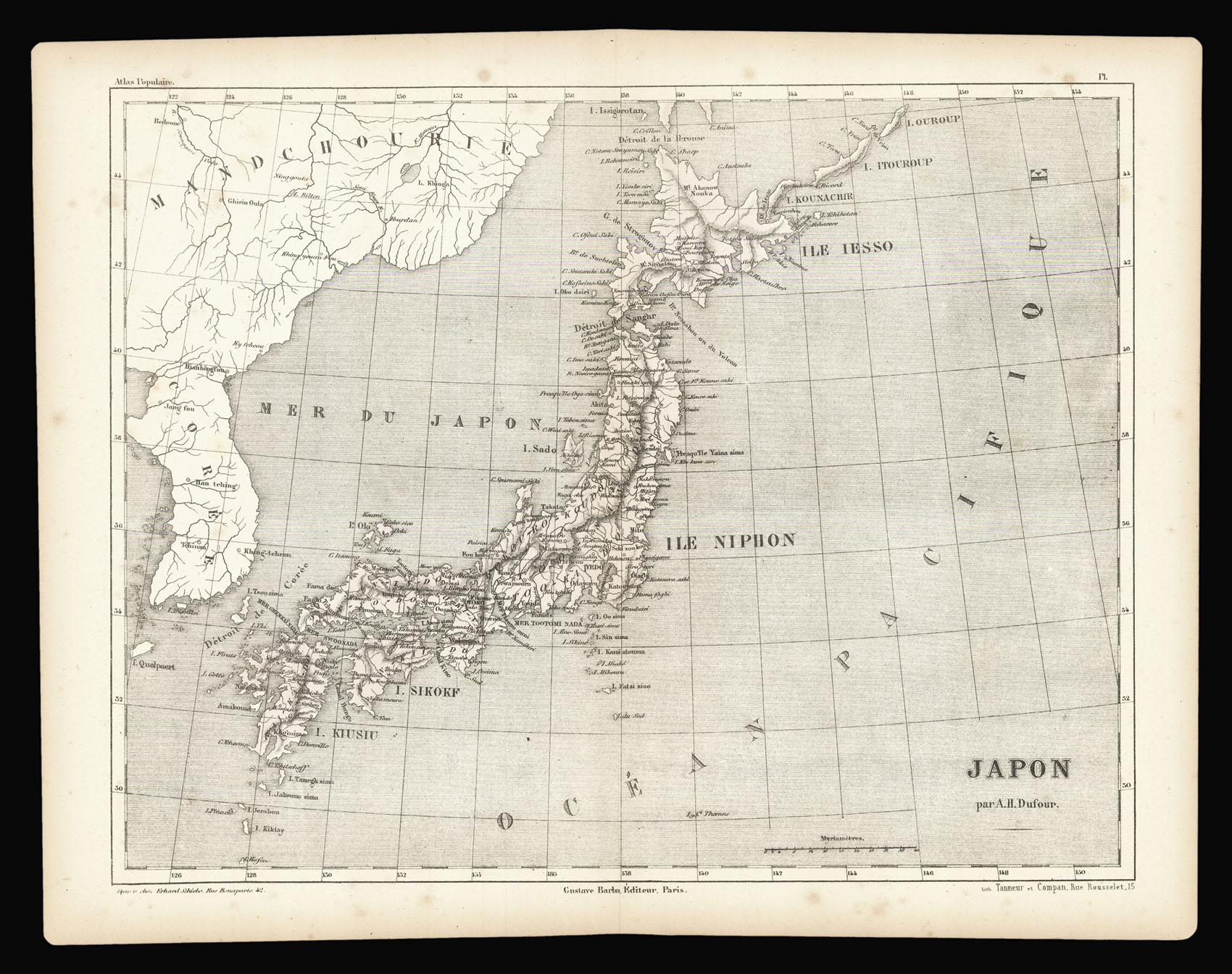
Map of Japan published in Dufour’s ‘Atlas Populaire’
DUFOUR, A[dolphe] H[ippolyte]
£40

Map of Japan published in Dufour’s ‘Atlas Populaire’
DUFOUR, A[dolphe] H[ippolyte]
£40

Rare map of London printed on cloth
[ANONYMOUS]
£1,200

Fixing the Centre of the Continent of Australia
STUART, John McDouall
£4,000

European cotton and wool imports before the beginning of the American Civil War
MINARD, Charles Joseph
£20,000
Sign up to hear about our latest acquisitions, exhibitions and events
Find Us
New York
PO Box 329, Larchmont, NY, USA
Opening hours, London Gallery
Monday to Friday: 10:00 – 18:00
Saturday: by appointment
Closed: all bank holidays and 1-31 August
Opening hours, New York
By appointment only