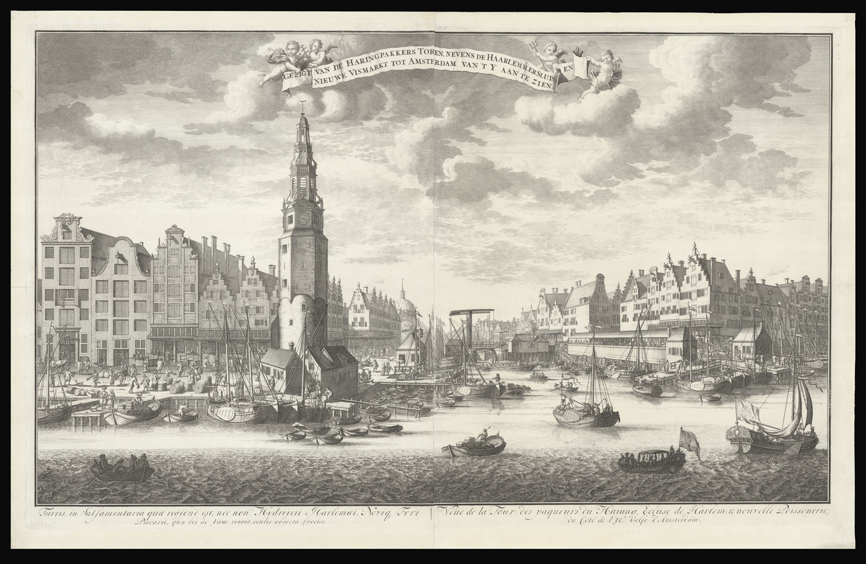

View from outside the Haringpakkerstoren towards the Koepelkirk
Gezigt van de Haringpakkers toren, nevens de Haarlemmers sluis, en Nieuwe Vismarkt tot Amsterdam. van 't y aan te zien. Turris in Salsamentaria quae regione est, nec non Hydrercii Harlemai Novique Fori Piscarii, qua res ad yam vergit, oculus objecta species. Veue de la tour des paquers du harang, ecluse de harlem, & nouvelle poissonerie; du côté de l'ye, golfe d'amsterdam.
- Author: [SMIT, Jan]
- Publication place: Amsterdam,
- Publication date: [c1750].
- Physical description: Engraving with etching, on two sheets joined.
- Dimensions: 565 by 910mm (22.25 by 35.75 inches).
- Inventory reference: 14427
Notes
The Haringpakkerstoren was a tower on the corner of the Singel canal and the current Prins Hendrikkade. The tower was originally part of the medieval defensive wall, and was at the time called the Tower of the Holy Cross. The tower would later become known as the Haringpakkerstoren, because the area was where the herring fishermen salted and packed their catch. In 1829, the city authorities took the decision to demolish the tower (the Jan Roodenspoortstoren was also demolished at the same time), as the city lacked the funds to maintain them. Before their demolition detailed drawings of the towers were taken, so that they could be reconstructed when funds became available. Although plans have recently been made to reconstruct the tower, there have been concerns that this would adversely affect Amsterdam's position on the UNESCO world heritage list.
Jan Smit was a draftsman and engraver working in the first half of the eighteenth century in The Netherlands.
Jan Smit was a draftsman and engraver working in the first half of the eighteenth century in The Netherlands.
Bibliography
- R.W.P. de Vries, auction, 1925: 287.
Image gallery
/
 Rare Maps
  Rare Atlases
  Rare Books
  Rare Prints
  Globes and Planetaria


