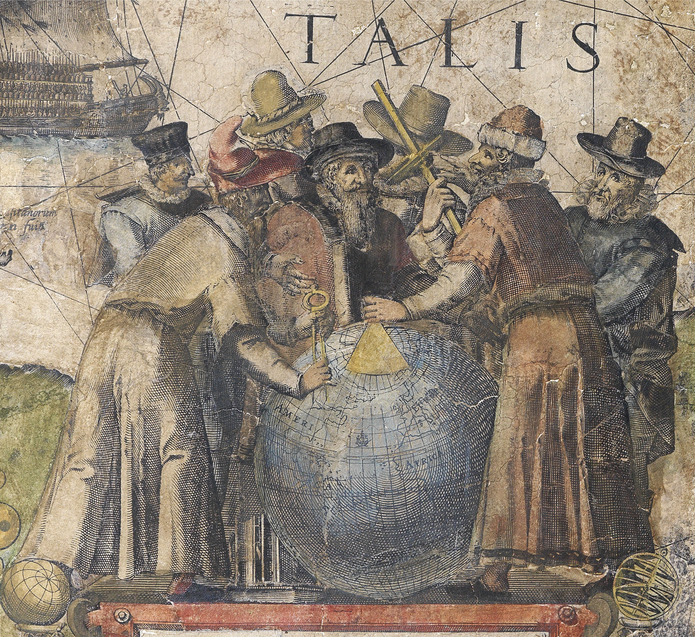
Giacomo Gastaldi
(c1500 - 1567)

“Cosmographer to the Venetian Republic, then a powerhouse of commerce and trade. Gastaldi sought the most up to date geographical information available, and became one of the greatest cartographers of the sixteenth century” (Burden).
A self-avowed “Piemontese”, Gastaldi was born at the end of the fifteenth or the beginning of the sixteenth century. He does not appear in any records until 1539, when the Venetian Senate granted him a privilege for the printing of a perpetual calendar. By the time his first dated map, Las Spana, appears in 1544, he had become an accomplished engineer and cartographer: the Germania that appears in the Geographia of 1547/8 is dated 1542. Karrow has argued that Gastaldi’s early contact with the celebrated geographical editor, Giovanni Battista Ramusio, and his involvement with the latter’s work, Navigationi et Viaggi, prompted him to take to cartography as a full-time occupation. In any case Gastaldi was helped by Ramusio’s connections with the Senate, to which he was secretary, and the favourable attitude towards geography and geographers in Venice at the time: the senate gave him the notable title of “Cosmographer to the Republic of Venice”.
Gastaldi was a prolific and influential mapmaker, his output including the modern maps to the 1547/8 Venice edition of Ptolemy’s Geographia, which Nodenskiold calls the “very first atlas of the New World”, which also contains the first map devoted to Arabia, and the first reference to Singapore on a map; Ramusio’s Navigationi et viaggi; spectacular large-scale maps of the world, from the Universale of 1546; and wall-maps of the continents. His large maps of Asia are considered amongst the most significant representations of the continent, as the first pieces of cartography to name, and even show, many of the areas depicted. Originating from Venice, they also reflect the Republic’s dominance of early exploration, particularly in Asia. The city’s crucial position allowed for Western contact with the East, although this relationship was becoming progressively threatened by the expansion of the Ottoman Empire.
His maps were also of practical use: from 1551 Gastaldi was regularly commissioned by the Savi sopra la Laguna to draught maps related to the watery problems of the Venetian lagoon.
 Rare Maps
  Rare Atlases
  Rare Books
  Rare Prints
  Globes and Planetaria


