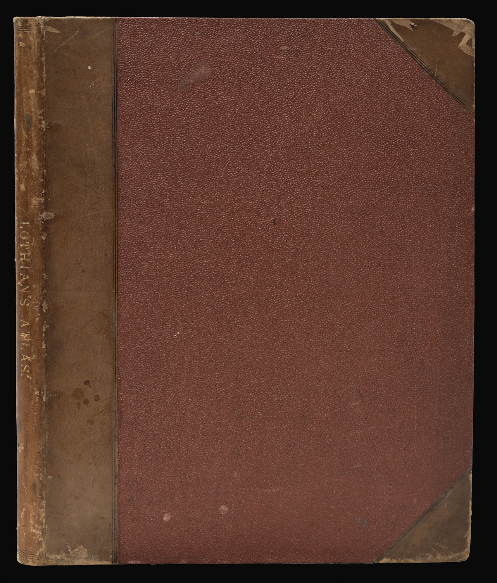


John Lothian's rare county atlas of Scotland
Lothian's County Atlas of Scotland.
- 作者: LOTHIAN, John
- 出版地: Edinburgh:
- 出版商: J. Lothian, Glasgow: Jackson & Cowan; London: J. Duncan,
- 发布日期: 1826 -1829.
- 物理描述: 4to (290 by 225mm) 2 parts in one volume, engraved title, frontispiece (dated 1829), and 33 engraved maps hand-coloured in outline, second part, engraved title and engraved maps numbered 34-41 (one map incorrectly numbered 37 instead of 36), hand-coloured in outline, late 19th century half calf, a few marginal tears to text, a little light dust-soiling.
- 库存参考: 12799
笔记
The first edition was published in 1826-27, with the title dated 1826 and the maps dated 1827. The second edition - the present work - was published in 1829, and this edition included for the first time the eight historical maps, preceded by its own engraved title: "Lothian's Historical Atlas of Scotland" dated 1829.
John Lothian was an Edinburgh geographer and publisher who issued atlases of Scotland and its counties from 1825 to 1835, a General Atlas in 1834, and The People's Atlas in 1846.
Rare we are only able to trace four institutional examples: The National Library of Scotland, University College Library Cambridge, Staatsbibliothek Berlin, and The British Library.
参考书目
- NLS EMS.b.2.7
图片库
/
 地图
地图  地图集
地图集  珍本
珍本  版画
版画  天文仪器
天文仪器 


