George Willdey
(?1676 - 1737)

George Willdey was apprenticed in the Spectaclemakers’ Company to John Yarwell and Ralph Sterrop in 1695, and made free in 1702. After being freed, Willdey continued to work for Yarwell and Stirrop, but set up his own business in partnership with a fellow apprentice Timothy Brandreth in early 1707.
Willdey was one of the first in England to appreciate the use of newspapers for promotion and marketing, even if his notices were prone to hyperbole and self-aggrandisement. His earliest announcements claimed that he was making better telescopes than his former masters, and that he was supplying their instruments, which sparked a long-running, inconclusive and bitter controversy in the papers.
Willdey became an established shopkeeper, from prestigious premises close to St. Paul’s Cathedral, describing himself as a “toy-maker”, dealing in trinkets, gold and jewellery, plates, cutlery and china, toiletries, medicines and elixirs, snuff, fabrics, other curiosity items, as well as optical instruments, such as telescopes and reading glasses, and paintings. Samples of his stock are often depicted in advertisement boxes inserted on his maps.
From about 1709, Willdey gradually began to offer maps, in association with Charles Price sr. and John Senex, who were working on an atlas of two-sheet maps. Price and Senex’s partnership ended in 1710; Senex went off on his own, while Price was employed by Willdey to continue the project, adding new plates to those he retained when the partnership ended.
Price and Willdey went their separate ways in 1713. At first Willdey tried to offload the stock of maps at discounted prices, but over the next few years commissioned sufficient plates to produce an atlas, several of these supplied by the young Emanuel Bowen. Surprisingly, however, Willdey never offered the maps as an atlas, but only as loose sheets, and this may well account for the relative rarity of Willdey atlases.
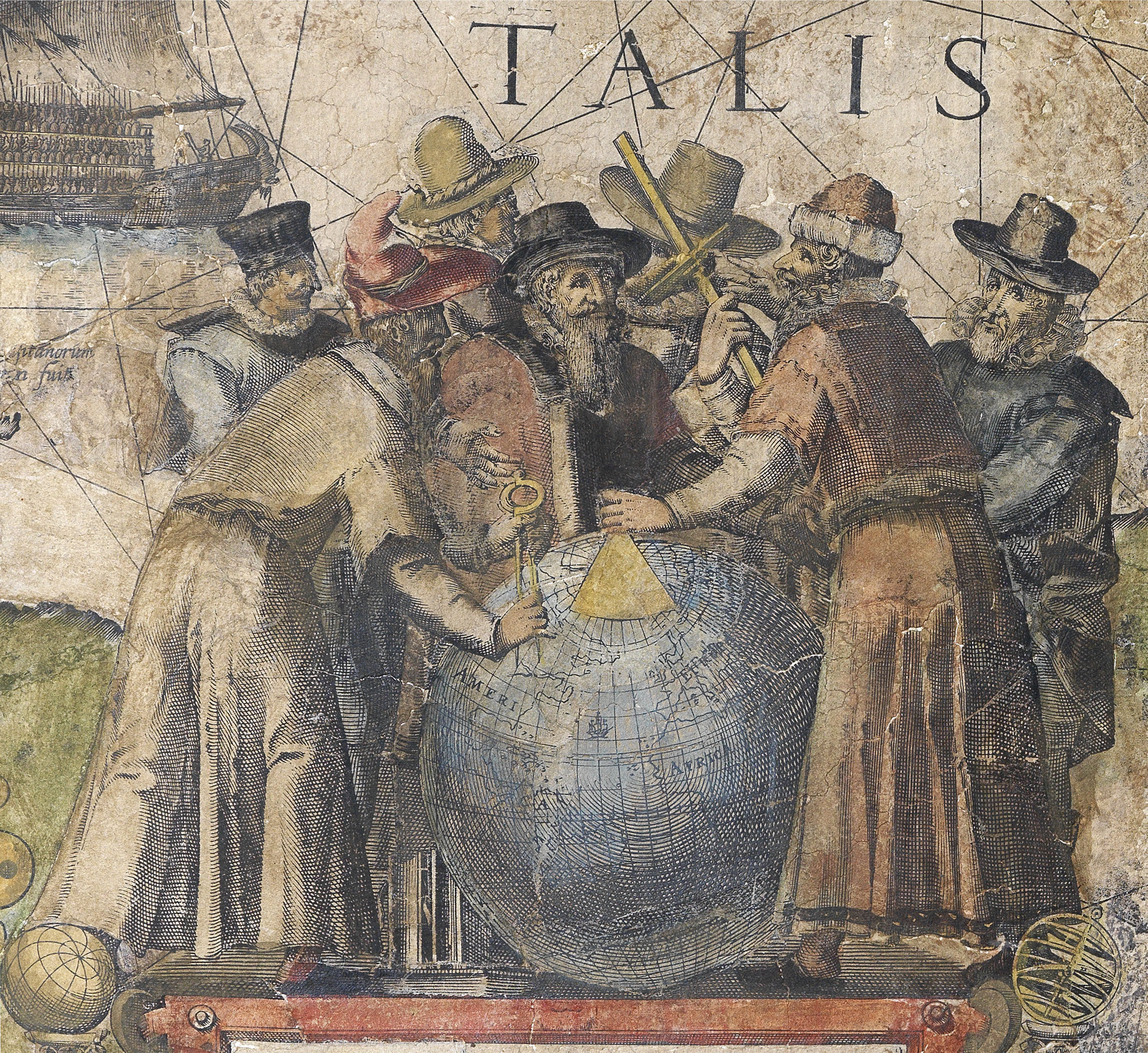
In 1721, Willdey published a six-sheet wall map of the world and a series of roundel maps of Europe engraved by Samuel Parker; again, the roundel world maps were not advertised as an atlas (although they have been found in composite atlases); they seem to have been principally intended to make up a map-screen with the world map. The recorded extant examples of the wall map are all founded mounted on screens.
In 1732, Willdey was able to purchase a substantial proportion of the map stock of Philip Lea at the sale of Anne Lea’s materials in 1732; however, much of this was Lea’s older stock: the map plates for Christopher Saxton’s county atlas of England and Wales, first published in 1579 and Lea’s various regional maps of the Americas, published in the 1680s. The more up-to-date (and therefore more valuable) county maps and regional maps seem to have been acquired by Thomas Bowles (II) and his brother John, as being a more appropriate supplement to their stock.
Willdey died in 1737; his son Thomas, who had previously been deemed unsuitable, continued the business until his death in 1748. He was content to exploit his father’s material, but did purchase the printing plates for Henry Popple’s important wall map of North America. Following Willdey’s death, the printing plates passed to Thomas Jefferys, while others were reprinted by Cluer Dicey (notably the Saxton county maps) and his heir Richard Marshall, while the “toy-shop” was continued by his shop manager Susannah Passavant.
Willdey’s very successful business is detailed in court papers drawn up in a dispute over his will; maps accounted for less than 10% of his estate, which totalled some £9,000.
 地图
地图  地图集
地图集  珍本
珍本  版画
版画  天文仪器
天文仪器 


