- Home
-
浏览
-
探索珍品
-
关于我们
地址
纽约
PO Box 329, Larchmont, NY, USA
开放时间,伦敦画廊
周一至周五:10:00-18:00
周六请预约
公休日:所有银行假日以及 8月1日至31日
营业时间,纽约
仅限预约


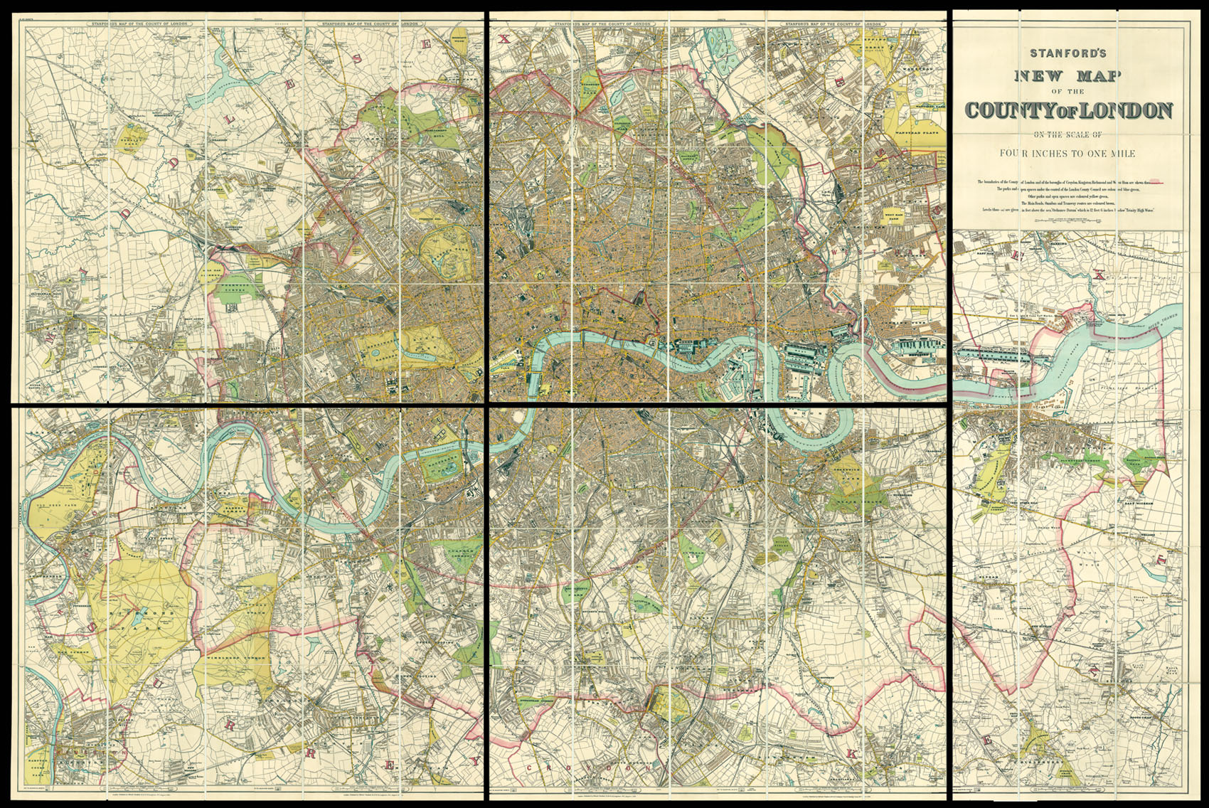
Stanford's five sheet map of London
Stanford's Map of the County of London
British Isles
London
- 作者: STANFORD, Edward
- 出版地: London,
- 出版商: Edward Stanford,
- 发布日期: 1894.
- 物理描述: Map in five sheets, each backed on linen with marbled cover papers, four sheets 640 x 785 mm, one sheet 1300 x 385 mm
- 方面: 1410 by 2100mm. (55.5 by 82.75 inches).
- 库存参考: 11467
笔记
A fine example of Stanford's map of London, mounted here as five sheets instead of twenty as sold.
Edward Stanford (1827-1904) was a highly successful publisher, known for his accurate maps of London. He began his career working for Trelawny Saunders, an enterprising mapmaker who supplied a daily weather chart for the Great Exhibition. Stanford started his own business in 1853, was elected a fellow of the Royal Geographical Society the following year and set about expanding the cartographical aspect of the firm.
Edward Stanford (1827-1904) was a highly successful publisher, known for his accurate maps of London. He began his career working for Trelawny Saunders, an enterprising mapmaker who supplied a daily weather chart for the Great Exhibition. Stanford started his own business in 1853, was elected a fellow of the Royal Geographical Society the following year and set about expanding the cartographical aspect of the firm.
参考书目
- Hyde 266 (1)
- BL 144.d.20.
图片库
相关项目
/
地址
纽约
PO Box 329, Larchmont, NY, USA
 地图
地图  地图集
地图集  珍本
珍本  版画
版画  天文仪器
天文仪器 


