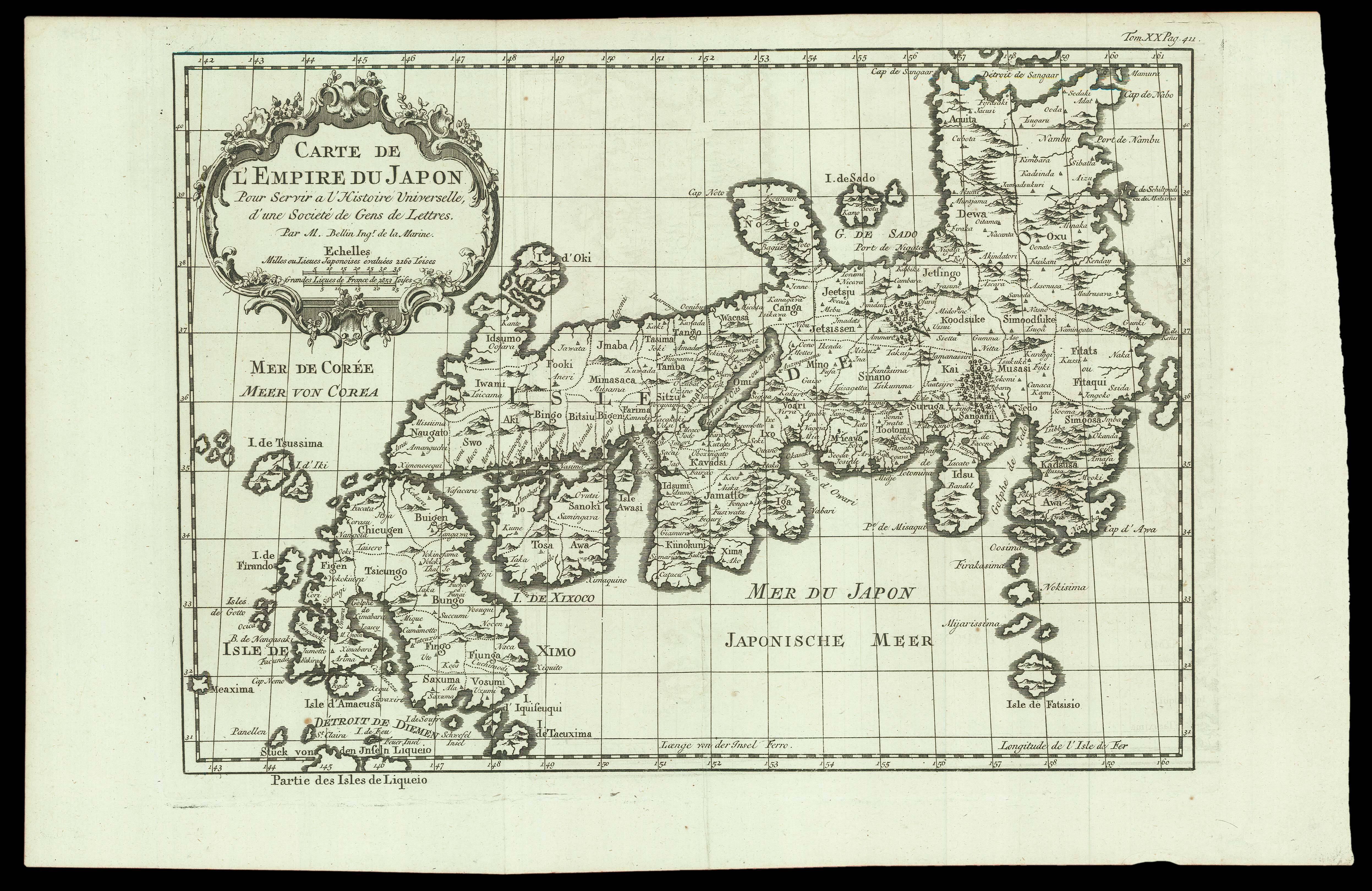

French edition of Bellin's map of Japan
Carte de L'Empire du Japon Pour servir a l'Histoire Universelle, d'une Societé de Gens de Lettres. Par M. Bellin Ing.r de la Marine.
- 作者: BELLIN, Jacques Nicolas; ARKSTEE, Johann Caspar and MERKUS, Henricus
- 出版地: [Amsterdam and Leipzig,
- 出版商: Johann Caspar Arsktee and Henricus Merkus,
- 发布日期: 1763].
- 物理描述: Engraved map.
- 方面: 256 by 406mm. (10 by 16 inches).
- 库存参考: 15821
笔记
The second state of the map, first published in a German edition in 1753, then published as here in a later French edition, 'Histoire Universelle, Depuis Le Commencement du Monde, Jusqu'a Present; Traduite de L'Anglois', 1763, of Prévost's version of Thomas Astley's 'A New General Collection of Voyages and Travels', 1745, which eventually extended to 20 volumes and was published many times, over many years, and in many languages. The second state of the map is identifiable by the reference "Tom.XX Pag.411" at the upper right corner.
The map, by Bellin, is a reduced copy of that which he had produced in 1735 for inclusion in Charlevoix's 'Histoire et Description Generale du Japon;…', 1736. In order to use the same plate for their French-language version, publishers Arkstree & Merkus had it reworked by translating the title cartouche back into French and adding French titles above the German ones to major features such as the seas of Japan and Korea; or by substituting French for German; or by additn French below the German.
Bellin (1702-1772), was the most significant and influential chart publisher in eighteenth-century France. He was appointed chief cartographer and hydrographer to the French Navy in 1721, and 'ingénier hydrographe' to the French navy's Dépôt des cartes et plans de la Marine in August 1741. Bellin was also a member of the Académie de Marine and of the Royal Society of London. During his 50-year career, Bellin published a number of atlases, including 'Hydrographie française' (1753), 'Carte de l'Amerique septentrionale' (1755), 'Petit Atlas Maritime' (1764), and 'Nouvelle méthode pour apprendre la géographie' (1769).
Prevost (1697-1763) became a novice Jesuit in 1713, but in a complete volte-face, joined the army 3 years later. In about 1720, he changed direction again, and joined the Benedictine order, only to escape it temporarily, to England, between 1728 and 1734. His output of fact and fiction, was prodigious, with Diderot and Brunet recording more than 200 volumes, put together with great haste.
参考书目
- Hubbard 105.2.
图片库
/
 地图
地图  地图集
地图集  珍本
珍本  版画
版画  天文仪器
天文仪器 


